File:AUS Alphanumeric Route M1 toll.svg

Size of this PNG preview of this SVG file: 220 × 150 pixels. Other resolutions: 320 × 218 pixels | 640 × 436 pixels | 1,024 × 698 pixels | 1,280 × 873 pixels | 2,560 × 1,745 pixels.
Original file (SVG file, nominally 220 × 150 pixels, file size: 3 KB)
| This is a file from the Wikimedia Commons. Information from its description page there is shown below. Commons is a freely licensed media file repository. You can help. |
W3C-validity not checked.
Summary
| Description |
English: Toll highway marker used in Australia. |
| Date | |
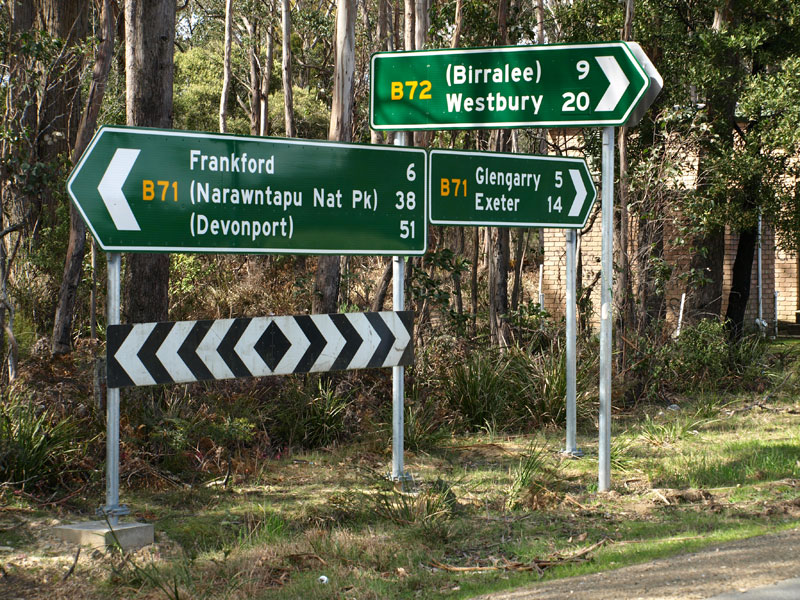
| Source | (2012-04-02). Manual of Uniform Traffic Control Devices, 2003 Edition (3): 56-57. Government of Queensland. and 38.jpg (JPEG-Grafik, 800 × 600 Pixel). ozroads.com.au. Retrieved on 2025-05-19. and IMG_1675.JPG (640x480 pixels). mrv.ozroads.com.au. Archived from the original on 2014-08-01. Retrieved on 2025-05-19. |
| Author |
w:Department of Main Roads (Queensland) This image: Fredddie |
Licensing
| This work is ineligible for copyright and therefore in the public domain because it consists entirely of information that is common property and contains no original authorship. |
File history
Click on a date/time to view the file as it appeared at that time.
| Date/Time | Thumbnail | Dimensions | User | Comment | |
|---|---|---|---|---|---|
| current | 17:14, 27 October 2020 | | 220 × 150 (3 KB) | wikimediacommons>Fredddie | {{Information |Description=Toll highway marker used in Australia. |Source=Manual of Uniform Traffic Control Devices, 2003 Edition (Third Issue: 2nd April, 2012), Government of Queensland, Page 56-57; with design approximated from many publicly available images ([http://www.ozroads.com.au/TAS/routenumbering/current/B72/38.jpg example] and [http://mrv.ozroads.com.au/SRNS/IMG_1675.JPG example]), Colours approximated. |Date=2020-10-27 |Author=Department of Main Roads (Queensland)<br />'''... |
File usage
The following 35 pages use this file:
- Airport Drive (Melbourne)
- Airport railway line, Brisbane
- Craigieburn Road
- Cranbourne line
- Dandenong Bypass
- Dingley Arterial Project
- Dingley Bypass
- Doomben railway line
- Draft:Bell Street, Melbourne
- Draft:Springvale Road, Melbourne
- East West Link (Melbourne)
- Greensborough Highway
- Healesville Freeway
- Hume Highway
- Koo Wee Rup Bypass
- List of road routes in Queensland
- List of road routes in Victoria
- M1 (Queensland)
- M80 Ring Road
- Outer Metropolitan Ring Road
- Pascoe Vale Road
- Plenty Road
- Road signs in Australia
- Sandringham line
- St Georges Road
- Thompson Road, Melbourne
- Toll roads in Australia
- Westall Road
- Western Port Highway
- Template:Airport railway line, Brisbane
- Template:Cranbourne line
- Template:Frankston line
- Template:Glen Waverley line
- Template:Pakenham line
- Template:Sandringham line