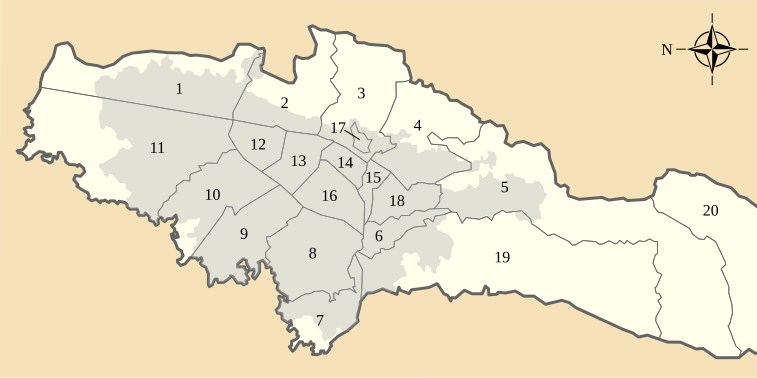
File:Administrative map of Distrito Capital (Colombia).svg

Size of this PNG preview of this SVG file: 757 × 378 pixels. Other resolutions: 320 × 160 pixels | 640 × 320 pixels | 1,024 × 511 pixels | 1,280 × 639 pixels | 2,560 × 1,278 pixels.
Original file (SVG file, nominally 757 × 378 pixels, file size: 67 KB)
File history
Click on a date/time to view the file as it appeared at that time.
| Date/Time | Thumbnail | Dimensions | User | Comment | |
|---|---|---|---|---|---|
| current | 12:45, 17 November 2013 |  | 757 × 378 (67 KB) | wikimediacommons>Milenioscuro | User created page with UploadWizard |
File usage
The following 41 pages use this file:
- Antonio Nariño, Bogotá
- Arzobispo River
- BD Bacatá
- Bacatá
- Barrios Unidos
- Bogotá
- Capellanía (wetland)
- Chapinero
- Ciudad Tunal
- Córdoba (wetland)
- Eastern Hills (Bogotá)
- El Burro
- El Salitre (wetland)
- Fucha River
- Guaymaral y Torca
- Jaboque
- Kennedy, Bogotá
- La Conejera
- La Conejera Hill
- La Florida (wetland)
- La Isla (wetland)
- La Vaca
- List of Muisca toponyms
- Los Mártires
- Meandro del Say
- Monserrate
- Santa María del Lago
- Soacha River
- Sumapaz
- Techo, Bogotá
- Techo (wetland)
- Teusacá River
- Teusaquillo
- Thomas van der Hammen Natural Reserve
- Tibabuyes
- Tibanica
- Torca River
- Tunjuelo River
- Wetlands of Bogotá
- English Wikipedia @ Freddythechick:WikiProject Cities/Capital city templates
- Template:Bogotá