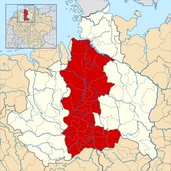
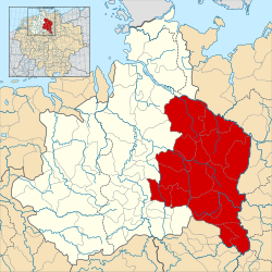
File:Angaria locator map (1000).svg

Size of this PNG preview of this SVG file: 600 × 600 pixels. Other resolutions: 240 × 240 pixels | 480 × 480 pixels | 768 × 768 pixels | 1,024 × 1,024 pixels | 2,048 × 2,048 pixels | 1,500 × 1,500 pixels.
Original file (SVG file, nominally 1,500 × 1,500 pixels, file size: 5.62 MB)
File history
Click on a date/time to view the file as it appeared at that time.
| Date/Time | Thumbnail | Dimensions | User | Comment | |
|---|---|---|---|---|---|
| current | 15:04, 18 May 2016 |  | 1,500 × 1,500 (5.62 MB) | wikimediacommons>Alphathon | == {{int:filedesc}} == {{Inkscape}} {{Information |Description={{en|A map of the en:Angria (German: ''Engern'') around the year 1000. The map is derived from a vectorised version of one found in Professor G. Droysens Allgemeiner Historischer... |
File usage
The following page uses this file:


