
File:Anvers-Stub-Picture.PNG

Size of this preview: 578 × 600 pixels. Other resolutions: 231 × 240 pixels | 462 × 480 pixels | 740 × 768 pixels | 986 × 1,024 pixels | 1,421 × 1,475 pixels.
Original file (1,421 × 1,475 pixels, file size: 52 KB, MIME type: image/png)
| This is a file from the Wikimedia Commons. Information from its description page there is shown below. Commons is a freely licensed media file repository. You can help. |
Summary
| Description |
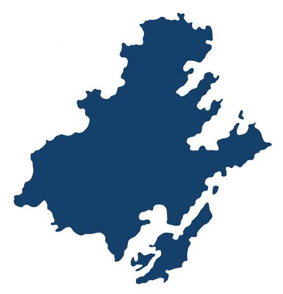
English: Image of Anvers Island, Antarctica. |
| Date | |
| Source | Own work |
| Author | Apcbg |
Licensing
I, the copyright holder of this work, hereby publish it under the following license:
This file is licensed under the Creative Commons Attribution-Share Alike 4.0 International license.
- You are free:
- to share – to copy, distribute and transmit the work
- to remix – to adapt the work
- Under the following conditions:
- attribution – You must give appropriate credit, provide a link to the license, and indicate if changes were made. You may do so in any reasonable manner, but not in any way that suggests the licensor endorses you or your use.
- share alike – If you remix, transform, or build upon the material, you must distribute your contributions under the same or compatible license as the original.
File history
Click on a date/time to view the file as it appeared at that time.
| Date/Time | Thumbnail | Dimensions | User | Comment | |
|---|---|---|---|---|---|
| current | 20:18, 28 October 2015 | | 1,421 × 1,475 (52 KB) | wikimediacommons>Apcbg | User created page with UploadWizard |
File usage
The following 30 pages use this file:
- Access Point (Antarctica)
- Achaean Range
- Achilles Heel (hill)
- Altimir Glacier
- Arthur Harbour
- Biscoe Bay
- Cape Lancaster
- DeLaca Island
- Frolosh Point
- Galata Cove
- Hackapike Bay
- Hooper Glacier
- Iliad Glacier
- Inverleith Harbour
- Kleptuza Glacier
- Lajarte Islands
- Lapeyrère Bay
- Madzharovo Point
- Mount Français
- Mount Rennie
- Predel Point
- Rhesus Glacier
- Rosenthal Islands
- Ryswyck Point
- Studena Point
- Thamyris Glacier
- Thompson Peninsula
- Trojan Range
- Zeus Ridge
- Template:AnversIsland-geo-stub