
File:Barbados location map.svg

Size of this PNG preview of this SVG file: 539 × 599 pixels. Other resolutions: 216 × 240 pixels | 432 × 480 pixels | 691 × 768 pixels | 921 × 1,024 pixels | 1,843 × 2,048 pixels | 1,205 × 1,339 pixels.
Original file (SVG file, nominally 1,205 × 1,339 pixels, file size: 125 KB)
| This is a file from the Wikimedia Commons. Information from its description page there is shown below. Commons is a freely licensed media file repository. You can help. |
Summary
| Description |
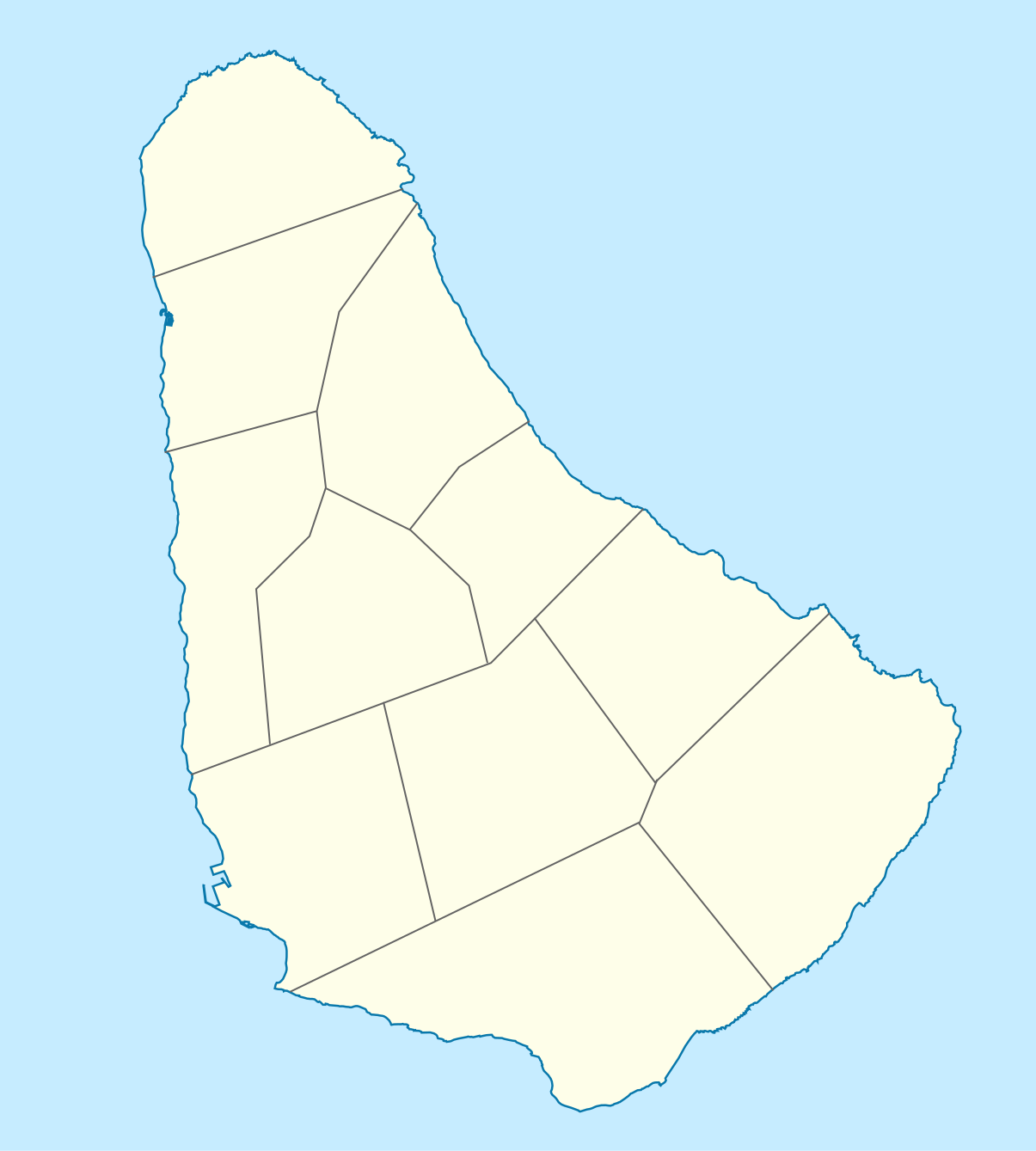
Deutsch: Positionskarte von Barbados. Geographische Begrenzungen der Karte:
English: Location map of Barbados. Geographic limits of the map:
|
| Date | |
| Source |
Own work, using
|
| Author |
Graphic made by Carport |
Licensing
This file is licensed under the Creative Commons Attribution-Share Alike 2.0 Generic license.
- You are free:
- to share – to copy, distribute and transmit the work
- to remix – to adapt the work
- Under the following conditions:
- attribution – You must give appropriate credit, provide a link to the license, and indicate if changes were made. You may do so in any reasonable manner, but not in any way that suggests the licensor endorses you or your use.
- share alike – If you remix, transform, or build upon the material, you must distribute your contributions under the same or compatible license as the original.
File history
Click on a date/time to view the file as it appeared at that time.
| Date/Time | Thumbnail | Dimensions | User | Comment | |
|---|---|---|---|---|---|
| current | 15:12, 22 November 2009 | | 1,205 × 1,339 (125 KB) | wikimediacommons>Carport | {{Information |Description={{de|1=Positionskarte von {{w|Barbados|Barbados|de}}. Geographische Begrenzungen der Karte: * N: 13.349° N * S: 13,034° N * W: 59,690° W * E: 59,399° W}} {{en|1=Location map of {{w|Barbados}}. Geographic limits of the map: |
File usage
The following 15 pages use this file:
- American University of Barbados
- Barbados
- Barbados national cricket team
- Bathsheba, Barbados
- Bridgetown
- Church Village, Barbados
- Greenland, Barbados
- Hastings, Barbados
- Heywoods Beach
- Hillaby, Barbados
- Lamberts, Barbados
- List of World Heritage Sites in Barbados
- List of beaches in Barbados
- Parliament Buildings (Barbados)
- Template:Map of Barbados