File:Business Loop 70.svg

Size of this PNG preview of this SVG file: 600 × 600 pixels. Other resolutions: 240 × 240 pixels | 480 × 480 pixels | 768 × 768 pixels | 1,024 × 1,024 pixels | 2,048 × 2,048 pixels | 601 × 601 pixels.
Original file (SVG file, nominally 601 × 601 pixels, file size: 25 KB)
| This is a file from the Wikimedia Commons. Information from its description page there is shown below. Commons is a freely licensed media file repository. You can help. |
This file is in the public domain because it comes from the Manual on Uniform Traffic Control Devices, sign number M1-2, which states specifically on page I-1 that:
|
 |
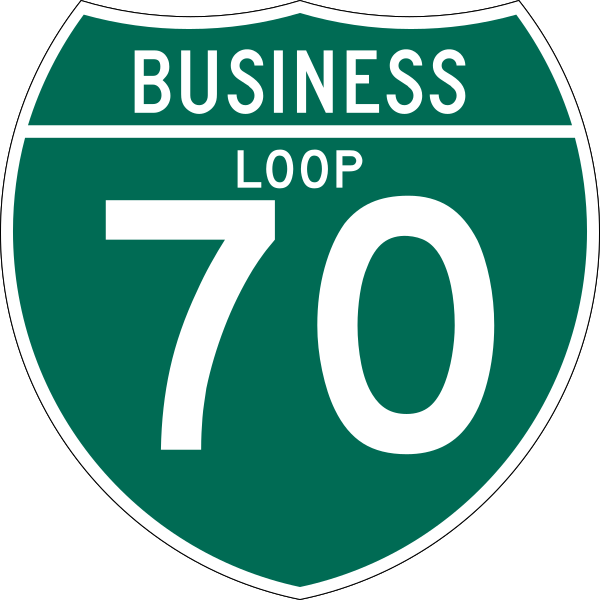
600 mm by 600 mm (24 in by 24 in) Business Loop shield, made to the specifications of the 2004 edition of Standard Highway Signs (sign M1-2). Uses the Roadgeek 2005 fonts archive copy at the Wayback Machine. (United States law does not permit the copyrighting of typeface designs, and the fonts are meant to be copies of a U.S. Government-produced work anyway.) Colors are from [1] (Pantone Green 342), converted to RGB by [2]. The outside border has a width of 1 (1 mm) and a color of black so it shows up; in reality, signs have no outside border.
File history
Click on a date/time to view the file as it appeared at that time.
| Date/Time | Thumbnail | Dimensions | User | Comment | |
|---|---|---|---|---|---|
| current | 18:48, 9 June 2010 | | 601 × 601 (25 KB) | wikimediacommons>KelleyCook | rv (again) T2 was same banned user |
File usage
The following 30 pages use this file:
- Arapahoe County, Colorado
- Boone County, Missouri
- Business routes of Interstate 70
- Business routes of Interstate 70 in Colorado
- Colfax Avenue
- Colorado State Highway 141
- Colorado State Highway 340
- Colorado State Highway 71
- Colorado State Highway 88
- Eagle County, Colorado
- Garfield County, Colorado
- Heartland Expressway
- Interstate 70 in Missouri
- Kit Carson County, Colorado
- List of Interstate Highways in Colorado
- List of Interstate Highways in Missouri
- Mesa County, Colorado
- Missouri Route 163
- Missouri Route 5
- Missouri Route 763
- Missouri Route 87
- Sevier County, Utah
- St. Charles County, Missouri
- Summit County, Colorado
- U.S. Route 40 in Colorado
- U.S. Route 40 in Missouri
- U.S. Route 50 in Utah
- Utah State Route 118
- Utah State Route 19
- Module:Infobox road/route/doc