
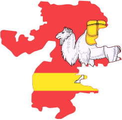
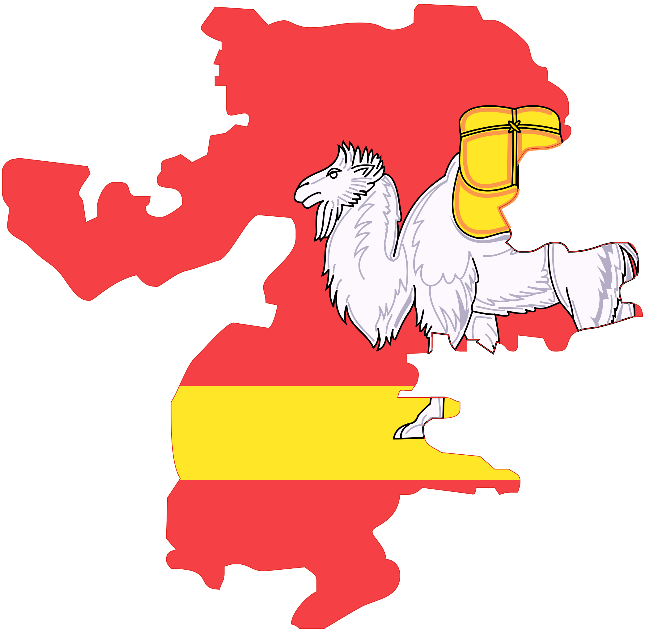
File:Chelyab-obl-geo-stub.svg

Size of this PNG preview of this SVG file: 611 × 600 pixels. Other resolutions: 245 × 240 pixels | 489 × 480 pixels | 783 × 768 pixels | 1,044 × 1,024 pixels | 2,087 × 2,048 pixels | 744 × 730 pixels.
Original file (SVG file, nominally 744 × 730 pixels, file size: 33 KB)
| This is a file from the Wikimedia Commons. Information from its description page there is shown below. Commons is a freely licensed media file repository. You can help. |
| Description |
Русский: Изображение для шаблона Chelyab-obl-geo-stub |
| Date | |
| Source | Own work |
| Author | Евгений Катышев |
| Permission (Reusing this file) |
Own work, all rights released (Public domain) |
| I, the copyright holder of this work, release this work into the public domain. This applies worldwide. In some countries this may not be legally possible; if so: I grant anyone the right to use this work for any purpose, without any conditions, unless such conditions are required by law. |
File history
Click on a date/time to view the file as it appeared at that time.
| Date/Time | Thumbnail | Dimensions | User | Comment | |
|---|---|---|---|---|---|
| current | 18:45, 22 May 2008 | | 744 × 730 (33 KB) | wikimediacommons>Lzhl | {{Information |Description={{ru|Изображение для шаблона Chelyab-obl-geo-stub}} |Source=Собственная работа |Date=22.05.2008 |Author=Евгений Катышев |Permission=Own work, all rights released |
File usage
The following 20 pages use this file:
- Adzhigardak
- Ay (river)
- Berdyaush
- Ilmensky Mountains
- Krasnogorsky, Chelyabinsk Oblast
- Krivoye Lake
- Kropachyovo
- Magnitka (urban-type settlement)
- Mezhevoy
- Mezhozyorny
- Nurgush
- Pervomaysky, Korkinsky District, Chelyabinsk Oblast
- Roza, Chelyabinsk Oblast
- Sugomak Cave
- Suleya
- Uy (Tobol)
- Yuzhny, Nagaybaksky District, Chelyabinsk Oblast
- Zauralsky
- Zyuratkul
- Template:ChelyabinskOblast-geo-stub