File:Denmark physical map.svg

Size of this PNG preview of this SVG file: 704 × 600 pixels. Other resolutions: 282 × 240 pixels | 564 × 480 pixels | 902 × 768 pixels | 1,202 × 1,024 pixels | 2,404 × 2,048 pixels | 851 × 725 pixels.
Original file (SVG file, nominally 851 × 725 pixels, file size: 379 KB)
| This is a file from the Wikimedia Commons. Information from its description page there is shown below. Commons is a freely licensed media file repository. You can help. |
Summary
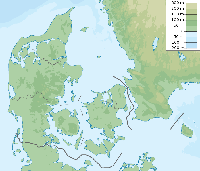
| Description | Denmark physical map, parameters equal to File:Denmark location map.svg |
| Date | |
| Source | Own work |
| Author | Urutseg |
Licensing
I, the copyright holder of this work, hereby publish it under the following license:
| This file is made available under the Creative Commons CC0 1.0 Universal Public Domain Dedication. | |
| The person who associated a work with this deed has dedicated the work to the public domain by waiving all of their rights to the work worldwide under copyright law, including all related and neighboring rights, to the extent allowed by law. You can copy, modify, distribute and perform the work, even for commercial purposes, all without asking permission.
|
File history
Click on a date/time to view the file as it appeared at that time.
| Date/Time | Thumbnail | Dimensions | User | Comment | |
|---|---|---|---|---|---|
| current | 16:29, 25 November 2022 | | 851 × 725 (379 KB) | wikimediacommons>GrandEscogriffe | more correct north-south stretching |
File usage
The following 51 pages use this file:
- 1963 European Ladies' Team Championship
- 1979 European Amateur Team Championship
- 2013 European Amateur Team Championship
- 2015 European Ladies' Team Championship
- Aalborg
- Aarhus (river)
- Allied Forces Baltic Approaches
- Arresø
- Brabrand Lake
- Brøndbyøster
- Buresø (town)
- Crowne Plaza Copenhagen Challenge
- Damestenen
- Danish Golf Championship
- Danish Marine Strategy
- ECCO Tour Championship
- Egå Engsø
- Ejer Bavnehøj
- Frøbjerg Bavnehøj
- Gentofte Lake
- Hammersø
- Havneby
- Helgenæs
- Hjørring
- Hvidovre
- Jydegaard Formation
- Kolindsund
- Kronborg
- Lille Vildmose
- List of Nike missile sites
- Made in Denmark Challenge
- Mols Bjerge National Park
- Mossø
- Outline of the Danish Armed Forces at the end of the Cold War
- Par force hunting landscape in North Zealand
- Rabekke Formation
- Royal Danish Navy
- Rytterknægten
- Shipco Masters
- Simon's Golf Club
- Sorthat Formation
- Stevns Klint
- Stilling-Solbjerg Lake
- Structure of the Royal Danish Army
- Sydbank Esbjerg Challenge
- Sømosen
- Tirslund Rock
- Vesthimmerland Airfield
- Yding Skovhøj
- Ærø Airport
- Ølstykke Municipality