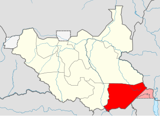
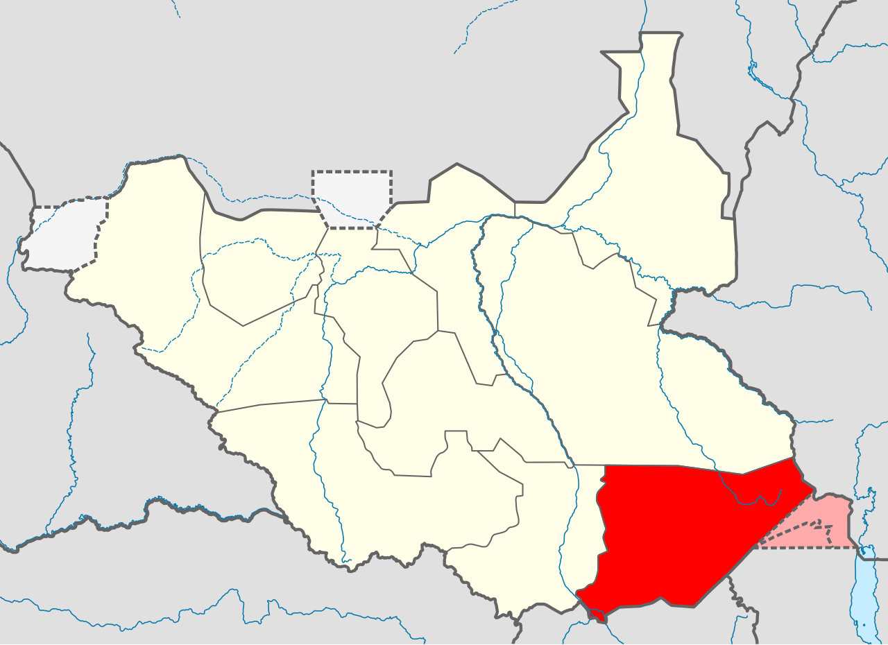
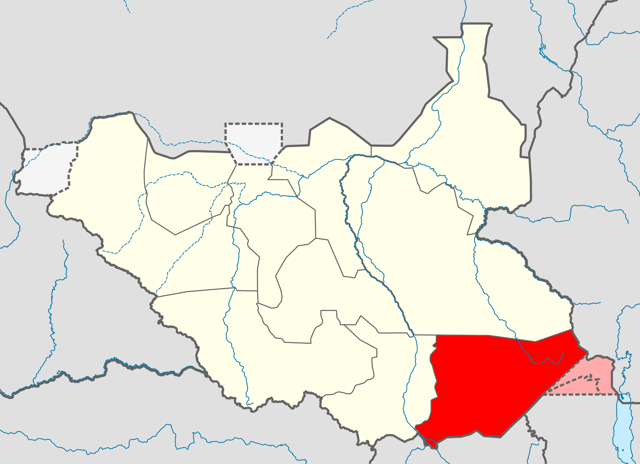
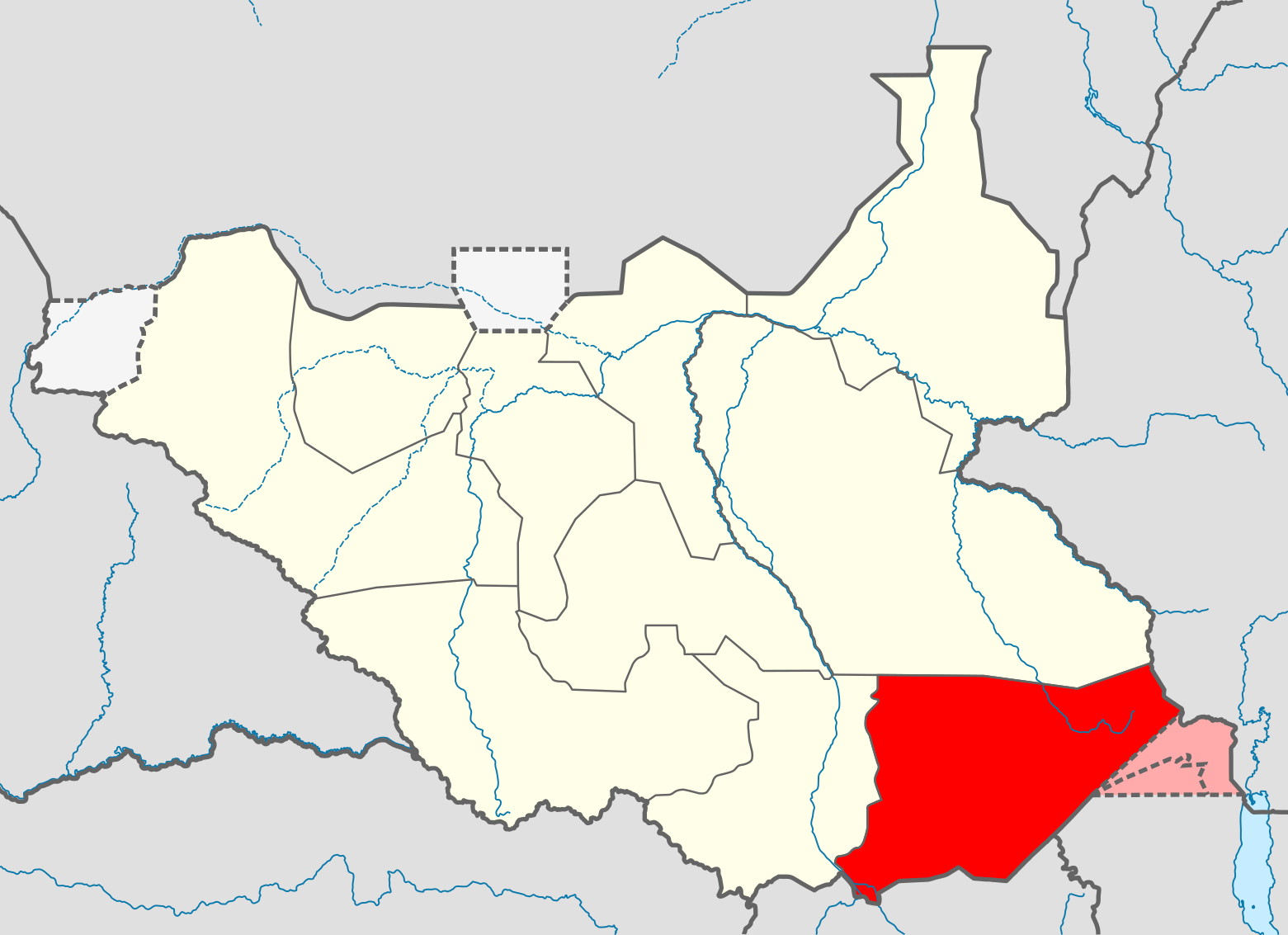
File:Eastern Equatoria Map.svg

Size of this PNG preview of this SVG file: 800 × 581 pixels. Other resolutions: 320 × 232 pixels | 640 × 465 pixels | 1,024 × 743 pixels | 1,280 × 929 pixels | 2,560 × 1,858 pixels | 1,561 × 1,133 pixels.
Original file (SVG file, nominally 1,561 × 1,133 pixels, file size: 208 KB)
File history
Click on a date/time to view the file as it appeared at that time.
| Date/Time | Thumbnail | Dimensions | User | Comment | |
|---|---|---|---|---|---|
| current | 08:27, 19 August 2011 | | 1,561 × 1,133 (208 KB) | wikimediacommons>Spesh531 | update in boundaries |
File usage
The following 21 pages use this file:
- Acholi people
- Bandingilo National Park
- Boya people
- Demographics of South Sudan
- Didinga Hills
- Didinga people
- Iboni
- Kapoeta East County
- Kapoeta North County
- Kinyeti River
- Lango people (South Sudan)
- Lopit people
- Medikiret River
- Narus, South Sudan
- Narus River, Kapoeta
- Otuho people
- Pari people
- Tennet people
- Toposa people
- Veveno River
- Template:Eastern Equatoria