File:Eritrea adm location map.svg

Original file (SVG file, nominally 1,898 × 1,512 pixels, file size: 286 KB)
| This is a file from the Wikimedia Commons. Information from its description page there is shown below. Commons is a freely licensed media file repository. You can help. |
Summary
| Description |
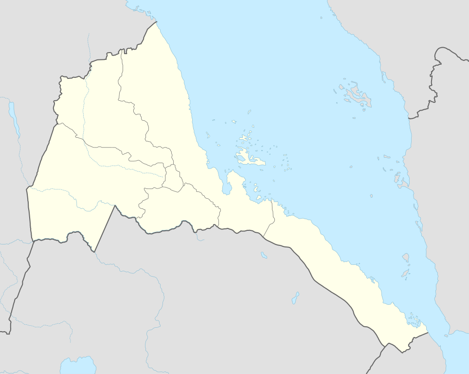
Deutsch: Positionskarte von Eritrea
English: Location map of Eritrea
|
||||||||||||
| Date | |||||||||||||
| Source |
Own work using:
|
||||||||||||
| Author | NordNordWest | ||||||||||||

|
This map has been made or improved in the German Kartenwerkstatt (Map Lab). You can propose maps to improve as well.
|
Licensing
Usage of this file with:

explanatory notes: Legally binding is only the full legalcode. For a free usage I recommend to respect the following licence conditions:
1. Provide my name as given above: NordNordWest,
2. a copy of, or the URI for, the applicable license: https://creativecommons.org/licenses/by-sa/3.0/de/legalcode,
3. the title of the work,
4. in the case of an adaptation, a credit identifying the use of the work in the adaptation.
This license and the rights granted hereunder will terminate automatically upon any breach by you of the terms of this license. Any of the above conditions can be waived if you get permission from the copyright holder. If you have questions or wish differing conditions, please contact me through nnwest or my discussion page ![]() t-online.de
t-online.de
- You are free:
- to share – to copy, distribute and transmit the work
- to remix – to adapt the work
- Under the following conditions:
- attribution – You must give appropriate credit, provide a link to the license, and indicate if changes were made. You may do so in any reasonable manner, but not in any way that suggests the licensor endorses you or your use.
- share alike – If you remix, transform, or build upon the material, you must distribute your contributions under the same or compatible license as the original.

File history
Click on a date/time to view the file as it appeared at that time.
| Date/Time | Thumbnail | Dimensions | User | Comment | |
|---|---|---|---|---|---|
| current | 19:29, 17 November 2014 | | 1,898 × 1,512 (286 KB) | wikimediacommons>NordNordWest | == {{int:filedesc}} == {{Information |Description= {{de|1=Positionskarte von Eritrea}} {{en|1=Location map of Eritrea}} {{Location map series N |stretching=103 |top=18.4 |bottom=12.0 |left=36.0 |right=43.8 }} |Source={{Own using}} * United States Natio... |
File usage
The following 64 pages use this file:
- Abacheri
- Abaredda
- Ad Casub
- Adendema
- Adi Ali Bakit, Anseba
- Adi Keyh
- Adi Quala
- Afabet
- Agordat
- Agordat Airport
- Agordat Operation
- Algheden, Dghe
- Algheden, Forto
- Aligider
- Anrata
- Antalla
- Arcugi
- Aredda
- Areza
- Arkiko
- Attack on Convoy BN 7
- Attai
- Barentu, Eritrea
- Bitama
- Chibabo, Eritrea
- Dahlak Kebir
- Debre Sina (monastery)
- Dekemhare
- Elit, Eritrea
- Eritrean Air Force
- Filfil
- Foro
- Ghinda
- Giamal Biscia
- Gogne
- Gura, Eritrea
- Hagaz
- Halhal, Eritrea
- Halib Mentel
- Hambok
- Haykota
- Kagnew Station
- Keren, Eritrea
- Kerkebet
- Kidane Mehret Cathedral
- Lake Kulul
- List of World Heritage Sites in Eritrea
- Markaughe
- Mendefera
- Mescul
- Mogolo
- Qohaito
- Rahayta
- Ras Kasar
- Segeneiti
- Sela, Eritrea
- Senafe
- Serejeka
- Shambuko
- Tauda
- Teseney
- Teseney Airport
- Tiyo
- Zula