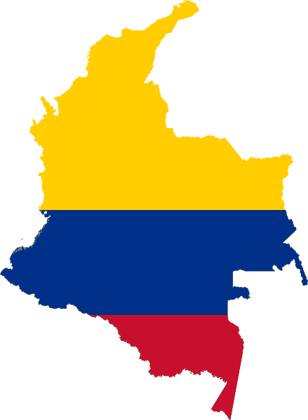
File:Flag-map of Colombia.svg

Size of this PNG preview of this SVG file: 440 × 600 pixels. Other resolutions: 176 × 240 pixels | 352 × 480 pixels | 563 × 768 pixels | 751 × 1,024 pixels | 1,502 × 2,048 pixels.
Original file (SVG file, nominally 440 × 600 pixels, file size: 70 KB)
File history
Click on a date/time to view the file as it appeared at that time.
| Date/Time | Thumbnail | Dimensions | User | Comment | |
|---|---|---|---|---|---|
| current | 17:13, 15 August 2022 |  | 440 × 600 (70 KB) | wikimediacommons>John emil hernandez | colors |
File usage
More than 100 pages use this file. The following list shows the first 100 pages that use this file only. A full list is available.
- Administrative divisions of Colombia
- Ajajú River
- Alice Shoal
- Alto Occidente Subregion
- Alto Oriente Subregion
- Aquio River
- Azufral
- Bahia Portete (La Guajira, Colombia)
- Bajo Occidente Subregion
- Cabo Manglares
- Cabruna Island
- Caguán River
- Cahuinari River
- Capanaparo River
- Cara Paraná River
- Carare-Opón Province
- Carvajal, Bogotá
- Casanare River
- Catatumbo River
- Centro Sur Subregion
- Cerro Bravo
- Cerro Negro de Mayasquer
- Cerro Pintado
- Chapinero Alto
- Cinaruco River
- Ciudad Salitre
- Ciudad Tunal
- Ciudadela Colsubsidio
- Comunera Province
- Cotuhé River
- Cumbal Volcano
- Depresión Momposina Province
- Dique Province
- El Chicó
- El Tigre, Buenaventura
- García Rovira Province
- Guamués River
- Guanía River
- Guatapurí River
- Guaviare River
- Gulf of Urabá
- Hacienda Napoles Airstrip
- Honda, Tolima
- Igara Paraná River
- Içana River
- La Conejera Hill
- La Gabarra
- La Porciúncula, Bogotá
- Laches, Bogotá
- Loba Province
- Madelena
- Magdalena Caldense Subregion
- Magdalena Medio Province
- Malpelo Ridge
- Maravilla Island
- Mares Province
- Mataje River
- Mecaya River
- Miritiparaná River
- Modelia, Bogotá
- Mojana Province
- Montes de Maria Province
- National Natural Parks System (Colombia)
- Nevado de Santa Isabel
- Normandía, Bogotá
- Norte Caldense Subregion
- North Soto Province
- Orteguaza River
- Panda Island
- Papurí River
- Petacas
- Picacho Mountain (Colombia)
- Pico Loro
- Piedemonte
- Puinawai Natural Reserve
- Puracé
- Purui River
- Quebrada Limas
- Querary River
- Quiroga, Bogotá
- Restrepo, Bogotá
- Romeral (volcano)
- Río de Oro (Catatumbo)
- Sabanalarga, Atlántico
- San Diego, Bogotá
- San Victorino
- Santa Inés, Bogotá
- Santa Isabel, Bogotá
- Sarare River
- Serranía de la Lindosa
- Sotará (volcano)
- Tintal, Bogotá
- Tiquie Airport
- Tunía River
- Vaupés River
- Veinte de Julio, Bogotá
- Venecia, Bogotá
- Vita River
- Vélez Province
- Yurumanguí River
View more links to this file.
