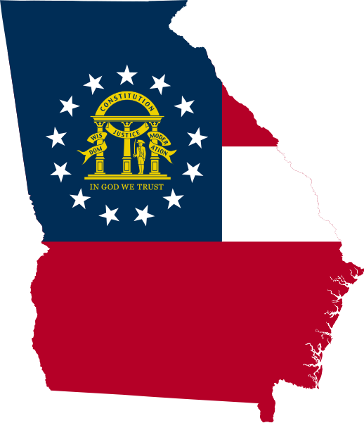
File:Flag-map of Georgia (U.S. state).svg

Size of this PNG preview of this SVG file: 518 × 600 pixels. Other resolutions: 207 × 240 pixels | 414 × 480 pixels | 663 × 768 pixels | 884 × 1,024 pixels | 1,768 × 2,048 pixels | 765 × 886 pixels.
Original file (SVG file, nominally 765 × 886 pixels, file size: 136 KB)
File history
Click on a date/time to view the file as it appeared at that time.
| Date/Time | Thumbnail | Dimensions | User | Comment | |
|---|---|---|---|---|---|
| current | 06:15, 29 June 2022 |  | 765 × 886 (136 KB) | wikimediacommons>John emil hernandez | remove outline |
File usage
The following 21 pages use this file:
- 1928 Democratic Party presidential primaries
- 2012 Republican Party presidential primaries
- 2016 Democratic Party presidential candidates
- Georgia's 12th Senate district
- Georgia's 15th Senate district
- Georgia's 26th Senate district
- Mud Lake (Georgia)
- Portal:Georgia (U.S. state)/Categories
- Shermantown (Atlanta)
- Warner Robins metropolitan area, Georgia
- Yazoo lands
- English Wikipedia @ Freddythechick:WikiProject Georgia (U.S. state)
- Category:B-Class Georgia (U.S. state) articles
- Category:FA-Class Georgia (U.S. state) articles
- Category:FL-Class Georgia (U.S. state) articles
- Category:FM-Class Georgia (U.S. state) articles
- Category:GA-Class Georgia (U.S. state) articles
- Category:Project-Class Georgia (U.S. state) articles
- Category:Start-Class Georgia (U.S. state) articles
- Category:Stub-Class Georgia (U.S. state) articles
- Category:WikiProject Georgia (U.S. state)
