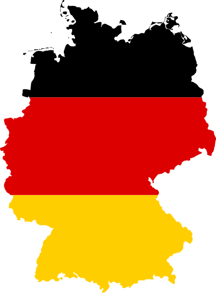
File:Flag map of Germany.svg

Size of this PNG preview of this SVG file: 443 × 600 pixels. Other resolutions: 177 × 240 pixels | 354 × 480 pixels | 567 × 768 pixels | 756 × 1,024 pixels | 1,513 × 2,048 pixels | 591 × 800 pixels.
Original file (SVG file, nominally 591 × 800 pixels, file size: 51 KB)
File history
Click on a date/time to view the file as it appeared at that time.
| Date/Time | Thumbnail | Dimensions | User | Comment | |
|---|---|---|---|---|---|
| current | 15:57, 11 September 2012 |  | 591 × 800 (51 KB) | wikimediacommons>Palosirkka | Scrubbed with http://codedread.com/scour/ |
File usage
The following 46 pages use this file:
- Alpgau
- Amrum Bank
- Argengau
- Bavarian Rhön Nature Park
- Blaueis
- Boekzetelerfehn
- Canhusen
- Cirkwehrum
- County of Bretzenheim
- County of Runkel
- Eifel hotspot
- Flensburg Firth
- Franken (Stralsund)
- Gandersum
- Grimersum
- Groß Midlum
- Haufendorf
- Henriette Herz Park
- Hunsrück-Hochwald National Park
- Höllentalferner
- Knappensee
- Köslin (region)
- Limburg-Isenberg
- Lordship of Stargard
- Lower Bavarian Spa Triangle
- Lower Westerwald
- Oldersum
- Ortschaft
- Osterhusen
- Rorichum
- Ruhr coalfield
- Spetzgarter Tobel
- Spreebogenpark
- Stadtbezirk
- Stettin (region)
- Tergast
- Theodor Wolff Park
- Thuringian-Franconian Highlands
- Transport in the German Democratic Republic
- Upleward
- Upper Hesse
- Uttum
- Wadden Sea National Parks
- Watzmann Glacier
- Westerhusen
- Template:Germany-glacier-stub


