
File:Golan location map 2.PNG

Size of this preview: 759 × 599 pixels. Other resolutions: 304 × 240 pixels | 608 × 480 pixels | 936 × 739 pixels.
Original file (936 × 739 pixels, file size: 140 KB, MIME type: image/png)
| This is a file from the Wikimedia Commons. Information from its description page there is shown below. Commons is a freely licensed media file repository. You can help. |
Summary
| Description |
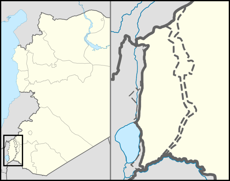
English: Location map of the Golan Heights. |
| Date | |
| Source | |
| Author | |
| Permission (Reusing this file) |
Creative Commons Attribution-Share Alike 3.0 Unported |
| Other versions | File:Golan location map 3.PNG |
Licensing
This file is licensed under the Creative Commons Attribution 3.0 Unported license.
- You are free:
- to share – to copy, distribute and transmit the work
- to remix – to adapt the work
- Under the following conditions:
- attribution – You must give appropriate credit, provide a link to the license, and indicate if changes were made. You may do so in any reasonable manner, but not in any way that suggests the licensor endorses you or your use.
File history
Click on a date/time to view the file as it appeared at that time.
| Date/Time | Thumbnail | Dimensions | User | Comment | |
|---|---|---|---|---|---|
| current | 17:40, 22 July 2024 | | 936 × 739 (140 KB) | wikimediacommons>Supreme Deliciousness | Reverted to version as of 23:07, 30 October 2012 (UTC) |
File usage
The following 20 pages use this file: