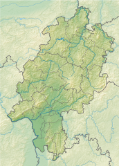
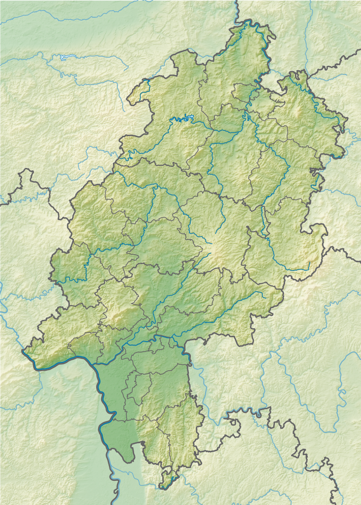
File:Hesse relief location map.svg

Size of this PNG preview of this SVG file: 429 × 600 pixels. Other resolutions: 172 × 240 pixels | 343 × 480 pixels | 549 × 768 pixels | 732 × 1,024 pixels | 1,465 × 2,048 pixels | 744 × 1,040 pixels.
Original file (SVG file, nominally 744 × 1,040 pixels, file size: 2.69 MB)
| This is a file from the Wikimedia Commons. Information from its description page there is shown below. Commons is a freely licensed media file repository. You can help. |
Summary
| Description |
Geografische Begrenzung der Karte:
Geographic limits of the map:
|
||
| Date | |||
| Source |
Own work using:
|
||
| Author | NordNordWest + Lencer | ||
| Other versions |
|
||
| SVG development | This map was created with Adobe Illustrator.
|


Licensing
This file is licensed under the Creative Commons Attribution-Share Alike 3.0 Germany license.
Attribution: Karte/Map: NordNordWest/Lencer, Lizenz/Licence: Creative Commons by-sa-3.0 de
- You are free:
- to share – to copy, distribute and transmit the work
- to remix – to adapt the work
- Under the following conditions:
- attribution – You must give appropriate credit, provide a link to the license, and indicate if changes were made. You may do so in any reasonable manner, but not in any way that suggests the licensor endorses you or your use.
- share alike – If you remix, transform, or build upon the material, you must distribute your contributions under the same or compatible license as the original.

| Annotations | This image is annotated: View the annotations at Commons |
File history
Click on a date/time to view the file as it appeared at that time.
| Date/Time | Thumbnail | Dimensions | User | Comment | |
|---|---|---|---|---|---|
| current | 09:26, 12 November 2013 | | 744 × 1,040 (2.69 MB) | wikimediacommons>NordNordWest | c |
File usage
The following 31 pages use this file:
- 2003 European Ladies' Team Championship
- Antrift
- Arnsbach (Usa)
- Aselbach
- Asphe
- Aubach (Aar)
- Aubach (Dill)
- Auer (Odenwald)
- Auerbach (Kinzig)
- Auersberg (Hilders)
- Augraben (Liederbach)
- Aula (river)
- Baitul Ghafur Mosque, Ginsheim
- Baitul Jame Mosque, Offenbach
- Battle of Dettingen
- Bellevue Palace, Kassel
- Central Rhön
- Dammersfeld Ridge
- Edersee
- Hohe Egge (Upland)
- International Technical Development Center
- Kassel Synagogue
- Melibokus
- Messel Formation
- New Synagogue (Darmstadt)
- Riesenstein (Wolfershausen)
- Sackpfeife (mountain)
- Southern High Rhön
- English Wikipedia @ Freddythechick:Graphics Lab/Map workshop/Archive/Dec 2021
- English Wikipedia @ Freddythechick:Graphics Lab/Map workshop/Archive/Jan 2022
- Template:Rheingau Members Verband Deutscher Prädikatsweingüter Map