
File:I-635.svg

Size of this PNG preview of this SVG file: 749 × 599 pixels. Other resolutions: 300 × 240 pixels | 600 × 480 pixels | 960 × 768 pixels | 1,280 × 1,024 pixels | 2,559 × 2,048 pixels | 751 × 601 pixels.
Original file (SVG file, nominally 751 × 601 pixels, file size: 15 KB)
| This is a file from the Wikimedia Commons. Information from its description page there is shown below. Commons is a freely licensed media file repository. You can help. |
This file is in the public domain because it comes from the Manual on Uniform Traffic Control Devices, sign number M1-1, which states specifically on page I-1 that:
|
.svg) |

|
This work includes material that may be protected as a trademark in some jurisdictions. If you want to use it, you have to ensure that you have the legal right to do so and that you do not infringe any trademark rights. See our general disclaimer. This tag does not indicate the copyright status of the attached work. A normal copyright tag is still required. See Commons:Licensing. |
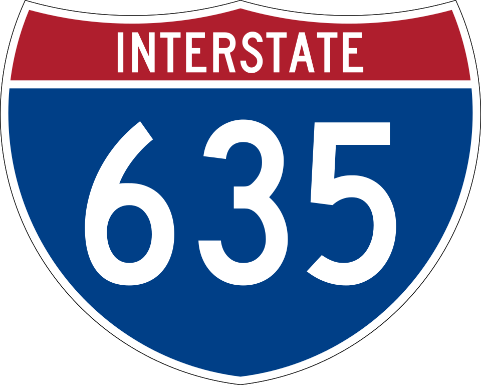
750 mm by 600 mm (30 in by 24 in) Interstate shield, made to the specifications of the 2004 edition of Standard Highway Signs (sign M1-1). Uses the Roadgeek 2005 fonts archive copy at the Wayback Machine. (United States law does not permit the copyrighting of typeface designs, and the fonts are meant to be copies of a U.S. Government-produced work anyway.) Colors are from [1] (Pantone Red 187 and Blue 294), converted to RGB by [2]. The outside border has a width of 1 (1 mm) and a color of black so it shows up; in reality, signs have no outside border.
File history
Click on a date/time to view the file as it appeared at that time.
| Date/Time | Thumbnail | Dimensions | User | Comment | |
|---|---|---|---|---|---|
| current | 07:19, 20 May 2007 | | 751 × 601 (15 KB) | wikimediacommons>Ltljltlj |
File usage
The following 43 pages use this file:
- Belt Line Road (Texas)
- Bonner Springs, Kansas
- Dallas County, Texas
- Dallas North Tollway
- High Five Interchange
- Interstate 20
- Interstate 29
- Interstate 30
- Interstate 35
- Interstate 35 in Kansas
- Interstate 35 in Missouri
- Interstate 635 (Kansas–Missouri)
- Interstate 635 Bridge
- Interstate 70
- Interstate 820
- Johnson County, Kansas
- K-12 (Kansas highway)
- K-32 (Kansas highway)
- Kansas Avenue Bridge (West)
- List of Interstate Highways in Kansas
- List of Interstate Highways in Missouri
- List of crossings of the Missouri River
- List of highways numbered 635
- Mid-Cities
- Missouri Route 571
- Missouri Route 9
- President George Bush Turnpike
- Richardson, Texas
- Shawnee Mission Parkway
- State Avenue (Kansas City, Kansas)
- Tarrant County, Texas
- Texas State Highway 114
- Texas State Highway 121
- Texas State Highway 289
- Texas State Highway 352
- Texas State Highway 78
- Turner Bridge
- U.S. Route 40 in Kansas
- U.S. Route 56
- US 69 Missouri River Bridge
- English Wikipedia @ Freddythechick:WikiProject U.S. Roads/Adopt-a-Highway
- English Wikipedia @ Freddythechick:WikiProject U.S. Roads/Interstate RJL compliance
- Template:Infobox road junction/doc