File:I-97.svg

Size of this PNG preview of this SVG file: 600 × 600 pixels. Other resolutions: 240 × 240 pixels | 480 × 480 pixels | 768 × 768 pixels | 1,024 × 1,024 pixels | 2,048 × 2,048 pixels | 601 × 601 pixels.
Original file (SVG file, nominally 601 × 601 pixels, file size: 13 KB)
| This is a file from the Wikimedia Commons. Information from its description page there is shown below. Commons is a freely licensed media file repository. You can help. |
This file is in the public domain because it comes from the Manual on Uniform Traffic Control Devices, sign number M1-1, which states specifically on page I-1 that:
|
.svg) |

|
This work includes material that may be protected as a trademark in some jurisdictions. If you want to use it, you have to ensure that you have the legal right to do so and that you do not infringe any trademark rights. See our general disclaimer. This tag does not indicate the copyright status of the attached work. A normal copyright tag is still required. See Commons:Licensing. |
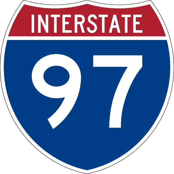
600 mm by 600 mm (24 in by 24 in) Interstate shield, made to the specifications of the 2004 edition of Standard Highway Signs (sign M1-1). Uses the Roadgeek 2005 fonts archive copy at the Wayback Machine. (United States law does not permit the copyrighting of typeface designs, and the fonts are meant to be copies of a U.S. Government-produced work anyway.) Colors are from [1] (Pantone Red 187 and Blue 294), converted to RGB by [2]. The outside border has a width of 1 (1 mm) and a color of black so it shows up; in reality, signs have no outside border.
File history
Click on a date/time to view the file as it appeared at that time.
| Date/Time | Thumbnail | Dimensions | User | Comment | |
|---|---|---|---|---|---|
| current | 06:57, 18 May 2007 | | 601 × 601 (13 KB) | wikimediacommons>Ltljltlj |
File usage
The following 22 pages use this file:
- Airport Loop
- Annapolis, Maryland
- Anne Arundel County, Maryland
- Baltimore/Washington International Airport
- Interstate 895
- Interstate 95 in Maryland
- Interstate 97
- List of Interstate Highways
- List of Interstate Highways in Maryland
- List of highways numbered 97
- Maryland Route 170
- Maryland Route 175
- Maryland Route 178
- Maryland Route 3
- Maryland Route 648
- Maryland Route 665
- Maryland Route 70
- U.S. Route 301
- Washington–Baltimore combined statistical area
- Woodrow Wilson Bridge
- English Wikipedia @ Freddythechick:WikiProject U.S. Roads/Adopt-a-Highway
- English Wikipedia @ Freddythechick:WikiProject U.S. Roads/Interstate RJL compliance