
File:Imperio Ruso zenith.PNG
Size of this preview: 800 × 370 pixels. Other resolutions: 320 × 148 pixels | 640 × 296 pixels | 1,357 × 628 pixels.
Original file (1,357 × 628 pixels, file size: 50 KB, MIME type: image/png)
| This is a file from the Wikimedia Commons. Information from its description page there is shown below. Commons is a freely licensed media file repository. You can help. |

|
File:Map of the Russian Empire at its height in 1866.svg is a vector version of this file. It should be used in place of this PNG file when not inferior.
File:Imperio Ruso zenith.PNG → File:Map of the Russian Empire at its height in 1866.svg
For more information, see Help:SVG. |
 |
Summary
العربية: الإمبراطورية الروسية في سنة 1866
- تمثل المناطق الخضراء الداكنة المناطق الدخلة ضمن حدود الامبراطورية
Cánulze: Nebdletcráo Ruscísus
- fonabulílnesa: odzápna ruscísusa
Deutsch: Das Russische Reich 1866
- Territorium in dunkelgrün
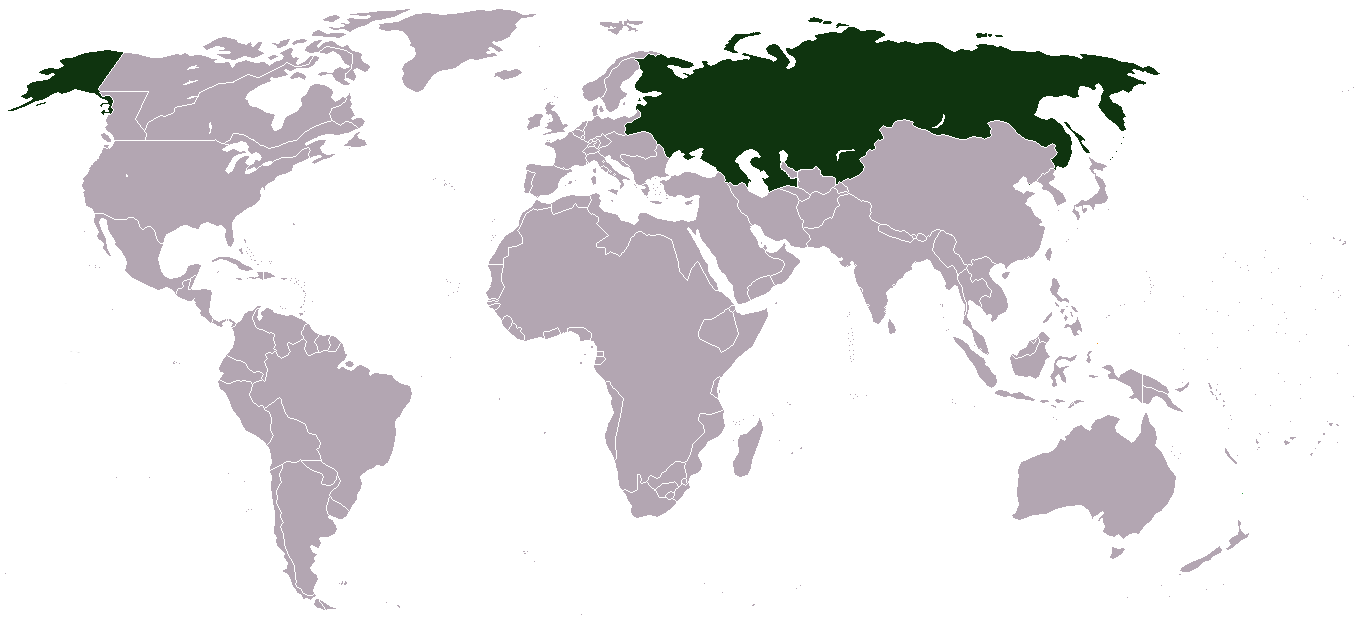
English: Russian Empire in 1866
- Russian territory dark green
עברית: האימפריה הרוסית ב-1866
- הטריטוריות של רוסיה בירוק כהה
Español: Imperio Ruso en 1866
- Verde oscuro: territorio ruso
Français : Empire Russe en 1866
- Vert-foncé: Territoire Russe
Malti: Imperu Russu fis-sena 1866
- Territorju Russu Ahdar Skur
Português: Império Russo em 1866
- Verde escuro: Território Russo
Русский: Российская Империя в 1866
- тëмно-зелëный: территория Империи
Հայերեն: Ռուսական Կայսրություն 1866 թվականին
- մուք կանանչը՝ հայսրության տարացքն է
Svenska: Ryska Imperiet 1866
- Mörkgrönt: Ryskt territorium
Türkçe: 1866 yılında Rus İmparatorluğu
- Rus bölgeleri koyu yeşil
Українська: Російська імперія 1866
- темно-зелений: території імперії
hecho porMexicano
Licensing
Based on File:Imperio_Ruso.PNG

|
Permission is granted to copy, distribute and/or modify this document under the terms of the GNU Free Documentation License, Version 1.2 or any later version published by the Free Software Foundation; with no Invariant Sections, no Front-Cover Texts, and no Back-Cover Texts. A copy of the license is included in the section entitled GNU Free Documentation License. |
| This file is licensed under the Creative Commons Attribution-Share Alike 3.0 Unported license. | ||
| ||
| This licensing tag was added to this file as part of the GFDL licensing update. |
derivative works
Derivative works of this file: Http: by /commons.wikimedia.org/wiki/File:LocationRussianEmpire1914.png
File history
Click on a date/time to view the file as it appeared at that time.
| Date/Time | Thumbnail | Dimensions | User | Comment | |
|---|---|---|---|---|---|
| current | 13:07, 16 February 2011 | | 1,357 × 628 (50 KB) | wikimediacommons>Dim Grits | Fixed Hiva & Buhara in 1866. |
File usage
The following page uses this file: