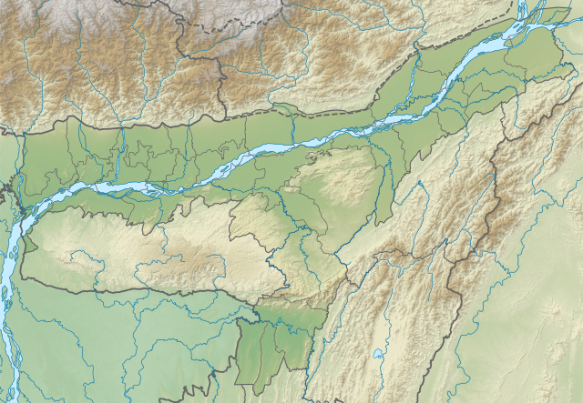
File:India Assam relief map.svg

Size of this PNG preview of this SVG file: 800 × 553 pixels. Other resolutions: 320 × 221 pixels | 640 × 443 pixels | 1,024 × 708 pixels | 1,280 × 885 pixels | 2,560 × 1,771 pixels | 1,414 × 978 pixels.
Original file (SVG file, nominally 1,414 × 978 pixels, file size: 1.95 MB)
| This is a file from the Wikimedia Commons. Information from its description page there is shown below. Commons is a freely licensed media file repository. You can help. |
Summary
| Description |
English: Assam relief map. Elevation data from STRM. |
| Date | |
| Source | Assam location map.svg |
| Author | Milenioscuro |
Licensing
This file is licensed under the Creative Commons Attribution-Share Alike 3.0 Unported license.
- You are free:
- to share – to copy, distribute and transmit the work
- to remix – to adapt the work
- Under the following conditions:
- attribution – You must give appropriate credit, provide a link to the license, and indicate if changes were made. You may do so in any reasonable manner, but not in any way that suggests the licensor endorses you or your use.
- share alike – If you remix, transform, or build upon the material, you must distribute your contributions under the same or compatible license as the original.
File history
Click on a date/time to view the file as it appeared at that time.
| Date/Time | Thumbnail | Dimensions | User | Comment | |
|---|---|---|---|---|---|
| current | 05:52, 2 July 2022 | | 1,414 × 978 (1.95 MB) | wikimediacommons>C1MM | Updated districts |
File usage
The following 22 pages use this file:
- 1984 Cachar earthquake
- 2021 Assam earthquake
- Battle of Dhai Ali
- Dihing River
- Diju River
- Dora Beel
- Kapla Beel
- Kopili Hydro Electric Project
- Lokhaitora River
- Maguri Motapung Beel
- Mer Beel
- Morikalang Beel
- Mornoi River
- Puthimari River
- Ranganadi River
- Samaguri Beel
- Sankosh River
- Silsako Lake
- Son Beel
- Tipkai River
- Tuni River
- Urpad Beel