File:Liberia location map.svg

Size of this PNG preview of this SVG file: 594 × 600 pixels. Other resolutions: 238 × 240 pixels | 475 × 480 pixels | 760 × 768 pixels | 1,014 × 1,024 pixels | 2,028 × 2,048 pixels | 1,000 × 1,010 pixels.
Original file (SVG file, nominally 1,000 × 1,010 pixels, file size: 245 KB)
| This is a file from the Wikimedia Commons. Information from its description page there is shown below. Commons is a freely licensed media file repository. You can help. |
Summary
| Description |
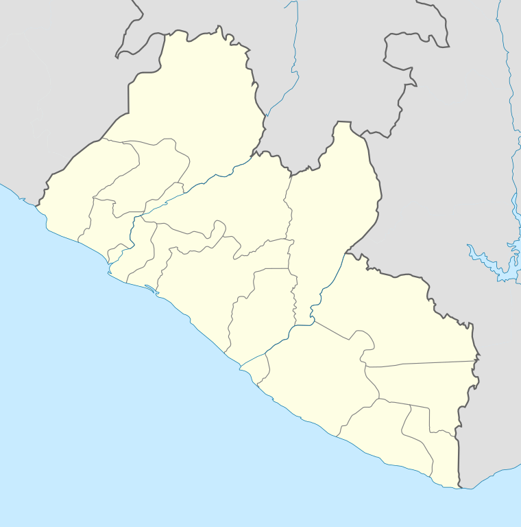
English: Location map of Liberia Equirectangular projection. Strechted by 101.0%. Geographic limits of the map:
|
| Date | |
| Source | Own work |
| Author | Uwe Dedering |
Licensing
I, the copyright holder of this work, hereby publish it under the following licenses:
This file is licensed under the Creative Commons Attribution-Share Alike 3.0 Unported license.
- You are free:
- to share – to copy, distribute and transmit the work
- to remix – to adapt the work
- Under the following conditions:
- attribution – You must give appropriate credit, provide a link to the license, and indicate if changes were made. You may do so in any reasonable manner, but not in any way that suggests the licensor endorses you or your use.
- share alike – If you remix, transform, or build upon the material, you must distribute your contributions under the same or compatible license as the original.

|
Permission is granted to copy, distribute and/or modify this document under the terms of the GNU Free Documentation License, Version 1.2 or any later version published by the Free Software Foundation; with no Invariant Sections, no Front-Cover Texts, and no Back-Cover Texts. A copy of the license is included in the section entitled GNU Free Documentation License. |
You may select the license of your choice.
File history
Click on a date/time to view the file as it appeared at that time.
| Date/Time | Thumbnail | Dimensions | User | Comment | |
|---|---|---|---|---|---|
| current | 19:15, 19 February 2010 | | 1,000 × 1,010 (245 KB) | wikimediacommons>Uwe Dedering | complete new File |
File usage
The following 28 pages use this file:
- 2021–22 Liberian First Division
- Arthington, Liberia
- Bandela
- Barclayville
- Bombotown
- Careysburg, Liberia
- Chocolate City, Liberia
- Clay-Ashland
- Dandawailo
- Executive Mansion, Monrovia
- Foya Airport
- Galio, Liberia
- Gardnersville
- Genga, Liberia
- Harbel
- Hotel Africa
- Kaba Town
- Mehla
- Monrovia Church massacre
- New Kru Town
- Roberts International Airport
- Saclepea
- Salala, Bong County
- Sasstown
- Spriggs Payne Airport
- Tuzon
- Virginia, Liberia
- Zartlahn District