
File:MA Route 135.svg

Size of this PNG preview of this SVG file: 749 × 599 pixels. Other resolutions: 300 × 240 pixels | 600 × 480 pixels | 960 × 768 pixels | 1,280 × 1,024 pixels | 2,559 × 2,048 pixels | 751 × 601 pixels.
Original file (SVG file, nominally 751 × 601 pixels, file size: 6 KB)
| This is a file from the Wikimedia Commons. Information from its description page there is shown below. Commons is a freely licensed media file repository. You can help. |
Summary
| Description |
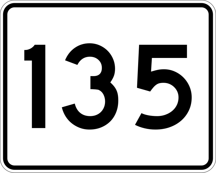
English: 750 mm by 600 mm (30 in by 24 in) Massachusetts Route shield, made to the specifications of the 1996 edition of Construction and Traffic Standard Details (sign M1-5). Uses the Roadgeek 2005 fonts. (United States law does not permit the copyrighting of typeface designs, and the fonts are meant to be copies of a U.S. Government-produced work anyway.) The outside border has a width of 1 (1 mm) and a color of black so it shows up; in reality, signs have no outside border. The specs actually do not show the curve on the outside border, instead making it a perfect rectangle, but all signs I have seen round the corners. |
|||
| Source | Own work | |||
| Author | SPUI | |||
| Permission (Reusing this file) |
|
File history
Click on a date/time to view the file as it appeared at that time.
| Date/Time | Thumbnail | Dimensions | User | Comment | |
|---|---|---|---|---|---|
| current | 12:35, 27 March 2006 | | 751 × 601 (6 KB) | wikimediacommons>SPUI~commonswiki | {{spuiother}} 750 mm by 600 mm (30 in by 24 in) Massachusetts Route shield, made to the specifications of the [http://166.90.180.162/mhd/downloads/manuals/1996Mconst.pdf 1996 edition of Construction and Traffic Standard Details] (sign M1-5). Uses the [htt |
File usage
The following 14 pages use this file:
- Framingham, Massachusetts
- Greater Boston
- List of crossings of the Charles River
- List of highways numbered 135
- Massachusetts Route 128
- Massachusetts Route 135
- Massachusetts Route 16
- Massachusetts Route 27
- Massachusetts Route 30
- Massachusetts Route 9
- Middlesex County, Massachusetts
- Norfolk County, Massachusetts
- English Wikipedia @ Freddythechick:WikiProject U.S. Roads/Redirects/Maine
- English Wikipedia @ Freddythechick:WikiProject U.S. Roads/Redirects/Massachusetts