
File:MN-22.svg

Size of this PNG preview of this SVG file: 600 × 600 pixels. Other resolutions: 240 × 240 pixels | 480 × 480 pixels | 768 × 768 pixels | 1,024 × 1,024 pixels | 2,048 × 2,048 pixels.
Original file (SVG file, nominally 600 × 600 pixels, file size: 16 KB)
| This is a file from the Wikimedia Commons. Information from its description page there is shown below. Commons is a freely licensed media file repository. You can help. |
Summary
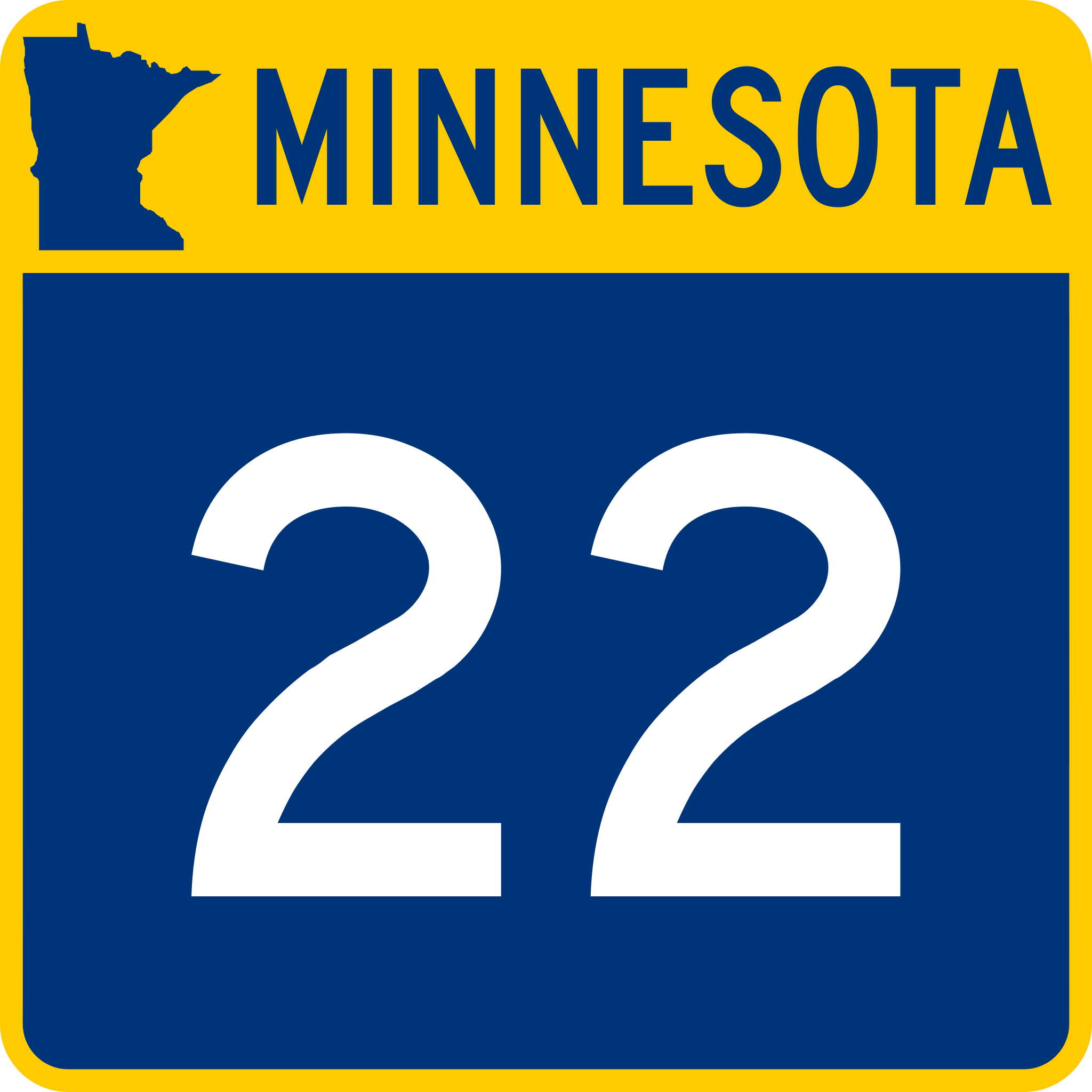
| Description | Minnesota State Highway route marker |
| Date | |
| Source | Minnesota Standard Signs Manual |
| Author | Minnesota Department of Transportation |
Licensing
This file is in the public domain because it comes from the Minnesota Manual on Uniform Traffic Control Devices, sign number M1-5, which states specifically in its introduction, on page iii that:
|
File history
Click on a date/time to view the file as it appeared at that time.
| Date/Time | Thumbnail | Dimensions | User | Comment | |
|---|---|---|---|---|---|
| current | 03:26, 12 April 2015 | | 600 × 600 (16 KB) | wikimediacommons>Fredddie |
File usage
The following 27 pages use this file:
- Beauford Township, Blue Earth County, Minnesota
- Blue Earth County, Minnesota
- Danville Township, Blue Earth County, Minnesota
- Decoria Township, Blue Earth County, Minnesota
- Faribault County, Minnesota
- Interstate 90 in Minnesota
- Le Sueur County, Minnesota
- Lime Township, Blue Earth County, Minnesota
- List of crossings of the Minnesota River
- List of highways numbered 22
- List of state highways in Minnesota
- Mankato, Minnesota
- Mankato Township, Blue Earth County, Minnesota
- Mapleton Township, Blue Earth County, Minnesota
- McLeod County, Minnesota
- Meeker County, Minnesota
- Minnesota State Highway 15
- Minnesota State Highway 24
- Minnesota State Highway 55
- Minnesota State Highway 7
- Nicollet County, Minnesota
- Sibley County, Minnesota
- St. Peter, Minnesota
- Stearns County, Minnesota
- U.S. Route 12 in Minnesota
- U.S. Route 169 in Minnesota
- U.S. Route 212 in Minnesota