
File:Map - NL - Municipality code 0757 (2021).svg

Size of this PNG preview of this SVG file: 300 × 160 pixels. Other resolutions: 320 × 171 pixels | 640 × 341 pixels | 1,024 × 546 pixels | 1,280 × 683 pixels | 2,560 × 1,365 pixels.
Original file (SVG file, nominally 300 × 160 pixels, file size: 442 KB)
| This is a file from the Wikimedia Commons. Information from its description page there is shown below. Commons is a freely licensed media file repository. You can help. |
Summary
| Description |
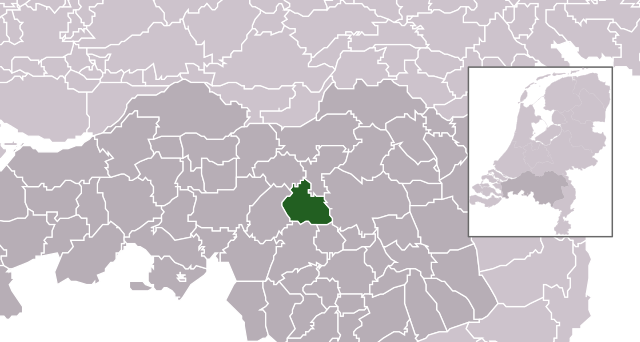
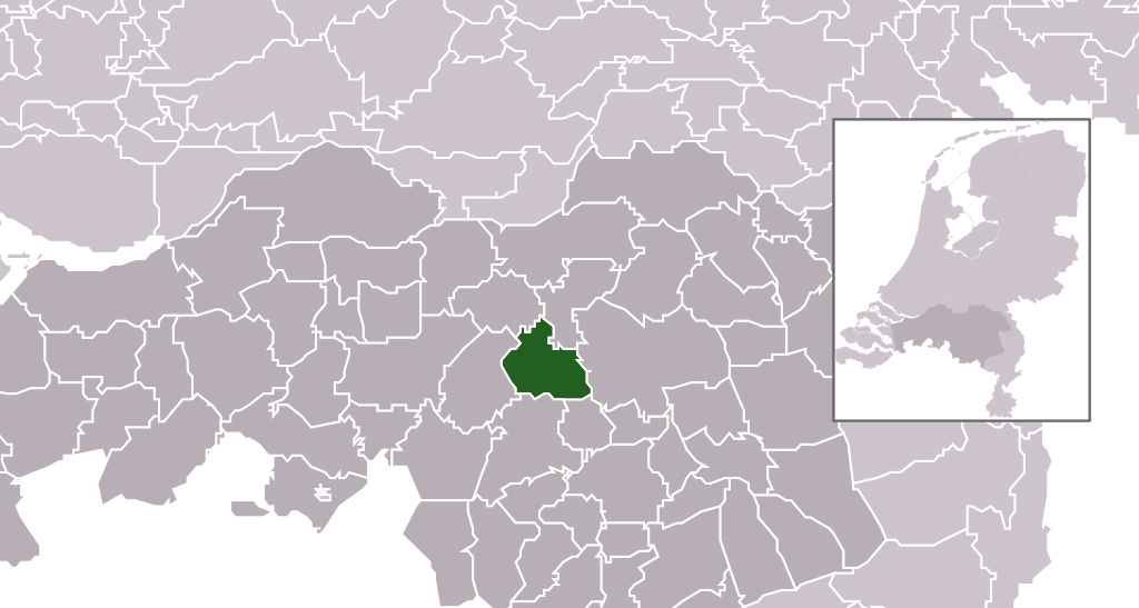
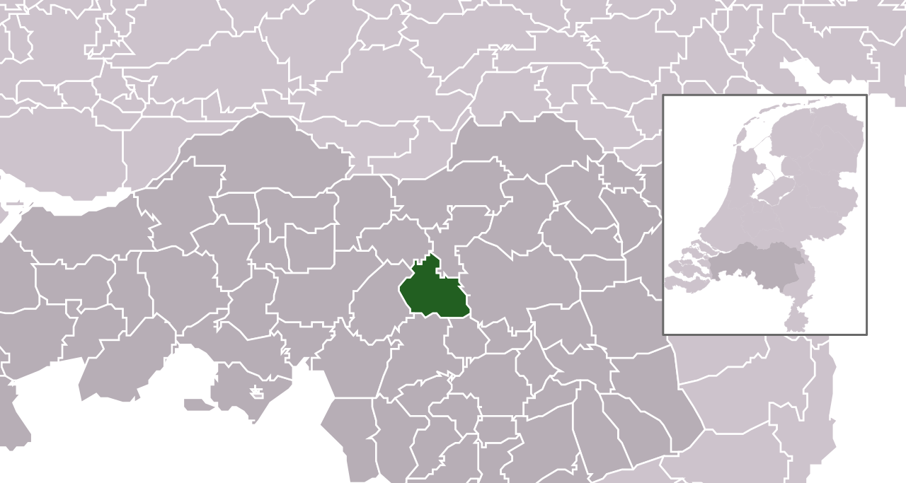
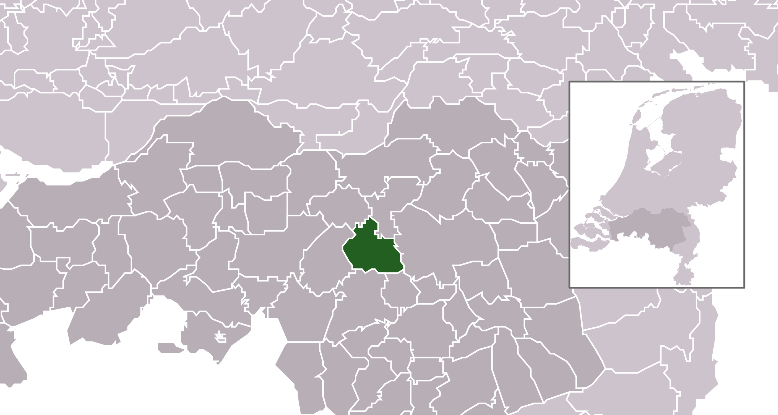
English: Location map for the Dutch municipality of Boxtel as of 2021.
|
|||
| Date | ||||
| Source | Derived from File:Map - NL - Municipality code 0855 (2021).svg and File:Map - NL - Municipality code 0757 (2009).svg | |||
| Author | Michiel1972, derivative by Thayts |

.svg)
.svg)
.svg)
Licensing
This file is licensed under the Creative Commons Attribution-Share Alike 3.0 Unported license.
- You are free:
- to share – to copy, distribute and transmit the work
- to remix – to adapt the work
- Under the following conditions:
- attribution – You must give appropriate credit, provide a link to the license, and indicate if changes were made. You may do so in any reasonable manner, but not in any way that suggests the licensor endorses you or your use.
- share alike – If you remix, transform, or build upon the material, you must distribute your contributions under the same or compatible license as the original.
File history
Click on a date/time to view the file as it appeared at that time.
| Date/Time | Thumbnail | Dimensions | User | Comment | |
|---|---|---|---|---|---|
| current | 01:46, 3 January 2021 | | 300 × 160 (442 KB) | wikimediacommons>Thayts | Uploaded own work with UploadWizard |
File usage
The following 2 pages use this file:
.svg)