
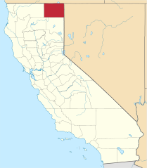
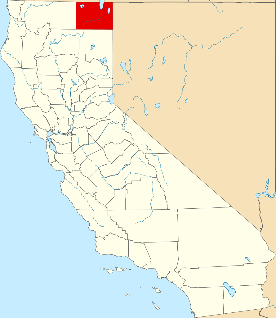
File:Map of California highlighting Modoc County.svg

Size of this PNG preview of this SVG file: 521 × 599 pixels. Other resolutions: 209 × 240 pixels | 417 × 480 pixels | 667 × 768 pixels | 890 × 1,024 pixels | 1,780 × 2,048 pixels | 916 × 1,054 pixels.
Original file (SVG file, nominally 916 × 1,054 pixels, file size: 151 KB)
| This is a file from the Wikimedia Commons. Information from its description page there is shown below. Commons is a freely licensed media file repository. You can help. |
Summary
David Benbennick made this map.
For more information, see Commons:United States county locator maps.
| I, the copyright holder of this work, release this work into the public domain. This applies worldwide. In some countries this may not be legally possible; if so: I grant anyone the right to use this work for any purpose, without any conditions, unless such conditions are required by law. |
File history
Click on a date/time to view the file as it appeared at that time.
| Date/Time | Thumbnail | Dimensions | User | Comment | |
|---|---|---|---|---|---|
| current | 00:01, 26 June 2024 | | 916 × 1,054 (151 KB) | wikimediacommons>Nux | uniform colors with good contrast |
File usage
The following 31 pages use this file:
- Adin, California
- Alturas, California
- California Pines, California
- Canby, California
- Cedarville Rancheria
- Chumawi, California
- Crane Creek Lumber Company
- Daphnedale Park, California
- Davis Creek, California
- Day, California
- Eagleville, California
- Fairport, California
- Fort Bidwell, California
- Hackamore, California
- Keshlakchuis, California
- Keuchishkeni, California
- Lake City, Modoc County, California
- Likely, California
- List of counties in California
- Lookout, California
- Menlo Baths, California
- Modoc County, California
- National Register of Historic Places listings in Modoc County, California
- New Pine Creek, California
- Newell, California
- Tionesta, California
- White Horse, California
- XL Ranch
- English Wikipedia @ Freddythechick:WikiProject California/GNIS cleanup task force/Modoc County
- Category:Populated places in Modoc County, California
- Category:Wikipedia requested photographs in Modoc County, California