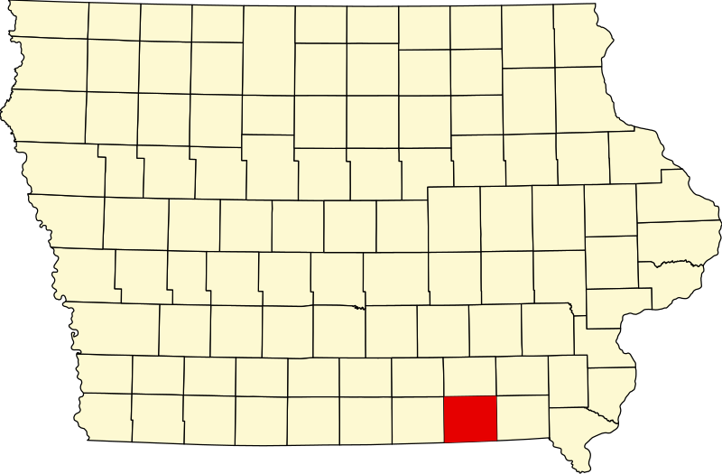
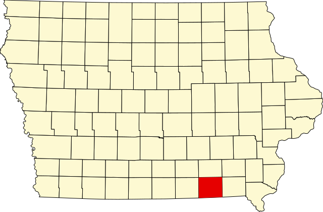
File:Map of Iowa highlighting Davis County.svg

Size of this PNG preview of this SVG file: 800 × 524 pixels. Other resolutions: 320 × 210 pixels | 640 × 419 pixels | 1,024 × 671 pixels | 1,280 × 838 pixels | 2,560 × 1,677 pixels | 1,783 × 1,168 pixels.
Original file (SVG file, nominally 1,783 × 1,168 pixels, file size: 31 KB)
| This is a file from the Wikimedia Commons. Information from its description page there is shown below. Commons is a freely licensed media file repository. You can help. |
Summary
| Description |
English: This is a locator map showing Davis County in Iowa. For more information, see Commons:United States county locator maps. |
| Date | |
| Source |
Own work: English: The maps use data from nationalatlas.gov, specifically countyp020.tar.gz on the Raw Data Download page. The maps also use state outline data from statesp020.tar.gz. The Florida maps use hydrogm020.tar.gz to display Lake Okeechobee. |
| Author | David Benbennick |
Licensing
| I, the copyright holder of this work, release this work into the public domain. This applies worldwide. In some countries this may not be legally possible; if so: I grant anyone the right to use this work for any purpose, without any conditions, unless such conditions are required by law. |
File history
Click on a date/time to view the file as it appeared at that time.
| Date/Time | Thumbnail | Dimensions | User | Comment | |
|---|---|---|---|---|---|
| current | 16:01, 25 June 2024 | | 1,783 × 1,168 (31 KB) | wikimediacommons>Nux | uniform colors with good contrast |
File usage
The following 19 pages use this file:
- Asa Wilson House
- Bloomfield, Iowa
- Bloomfield Public Library
- Bloomfield Square
- Davis County, Iowa
- Davis County Courthouse (Iowa)
- Drakesville, Iowa
- Floris, Iowa
- Henry Wishard House
- List of counties in Iowa
- Lockkeeper's House (Davis County, Iowa)
- Pulaski, Iowa
- Stringtown House
- Troy, Iowa
- West Grove United Methodist Church
- William Findley House
- Template:Davis County, Iowa
- Template:NRHP in Davis County, Iowa
- Category:Populated places in Davis County, Iowa