File:Map of Ohio highlighting Geauga County.svg

Size of this PNG preview of this SVG file: 552 × 600 pixels. Other resolutions: 221 × 240 pixels | 442 × 480 pixels | 707 × 768 pixels | 942 × 1,024 pixels | 1,885 × 2,048 pixels | 1,050 × 1,141 pixels.
Original file (SVG file, nominally 1,050 × 1,141 pixels, file size: 37 KB)
| This is a file from the Wikimedia Commons. Information from its description page there is shown below. Commons is a freely licensed media file repository. You can help. |
Summary
| Description |
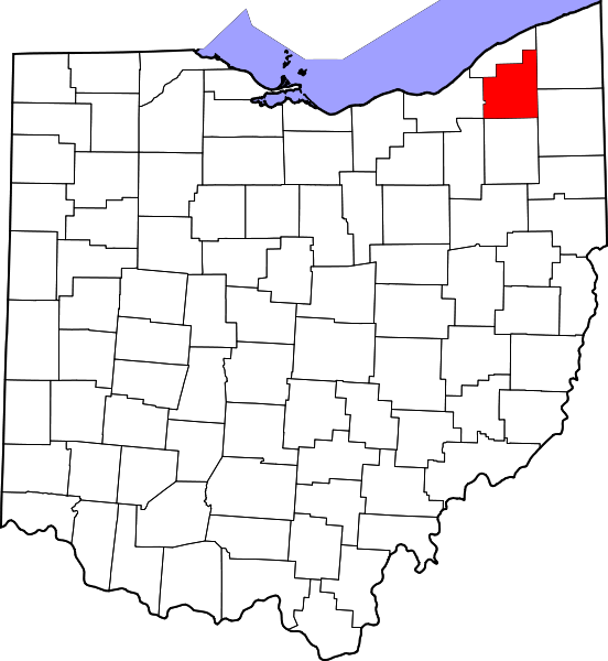
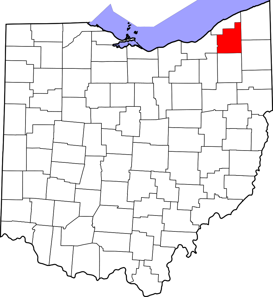
English: This is a locator map showing Geauga County in Ohio. For more information, see Commons:United States county locator maps. |
| Date | |
| Source |
Own work: English: The maps use data from nationalatlas.gov, specifically countyp020.tar.gz on the Raw Data Download page. The maps also use state outline data from statesp020.tar.gz. The Florida maps use hydrogm020.tar.gz to display Lake Okeechobee. |
| Author | David Benbennick |
Licensing
| I, the copyright holder of this work, release this work into the public domain. This applies worldwide. In some countries this may not be legally possible; if so: I grant anyone the right to use this work for any purpose, without any conditions, unless such conditions are required by law. |
File history
Click on a date/time to view the file as it appeared at that time.
| Date/Time | Thumbnail | Dimensions | User | Comment | |
|---|---|---|---|---|---|
| current | 02:34, 25 June 2024 | | 1,050 × 1,141 (37 KB) | wikimediacommons>Nux | fix rendering (remove clipping) |
File usage
The following 42 pages use this file:
- Aquilla, Ohio
- Auburn Township, Geauga County, Ohio
- Bainbridge Township, Ohio
- Bostwick, Ohio
- Bundysburg, Ohio
- Burton, Ohio
- Burton Township, Ohio
- Chardon, Ohio
- Chardon Township, Ohio
- Chester Township, Geauga County, Ohio
- Chesterland, Ohio
- Claridon, Geauga County, Ohio
- Claridon Township, Geauga County, Ohio
- East Claridon, Ohio
- Fowlers Mill, Ohio
- Fullertown, Ohio
- Geauga County, Ohio
- Hambden Township, Geauga County, Ohio
- Hampden, Ohio
- Hunting Valley, Ohio
- Huntsburg, Ohio
- List of counties in Ohio
- Middlefield, Ohio
- Middlefield Township, Geauga County, Ohio
- Montville, Ohio
- Munson Township, Geauga County, Ohio
- Newbury Center, Ohio
- Newbury Township, Geauga County, Ohio
- Novelty, Ohio
- Parkman, Ohio
- Parkman Township, Geauga County, Ohio
- Popes Corners, Ohio
- Russell Center, Ohio
- South Newbury, Ohio
- South Russell, Ohio
- South Thompson, Ohio
- Thompson, Ohio
- Thompson Township, Geauga County, Ohio
- Troy Township, Geauga County, Ohio
- Welshfield, Ohio
- English Wikipedia @ Freddythechick:Graphics Lab/Map workshop/Archive/Aug 2021
- English Wikipedia @ Freddythechick:WikiProject Ohio/County Templates