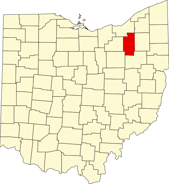
File:Map of Ohio highlighting Summit County.svg

Size of this PNG preview of this SVG file: 552 × 600 pixels. Other resolutions: 221 × 240 pixels | 442 × 480 pixels | 707 × 768 pixels | 942 × 1,024 pixels | 1,885 × 2,048 pixels | 1,050 × 1,141 pixels.
Original file (SVG file, nominally 1,050 × 1,141 pixels, file size: 37 KB)
File history
Click on a date/time to view the file as it appeared at that time.
| Date/Time | Thumbnail | Dimensions | User | Comment | |
|---|---|---|---|---|---|
| current | 02:45, 25 June 2024 |  | 1,050 × 1,141 (37 KB) | wikimediacommons>Nux | fix rendering (remove clipping) |
File usage
The following 43 pages use this file:
- Akron, Ohio
- Barberton, Ohio
- Bath Township, Summit County, Ohio
- Boston, Summit County, Ohio
- Boston Heights, Ohio
- Brandywine, Ohio
- Clinton, Ohio
- Comet, Summit County, Ohio
- Copley, Ohio
- Copley Township, Ohio
- Coventry Township, Ohio
- Cuyahoga Falls, Ohio
- Everett, Ohio
- Fairlawn, Ohio
- Green, Ohio
- Greensburg, Ohio
- Hudson, Ohio
- Lakemore, Ohio
- List of counties in Ohio
- Macedonia, Ohio
- Mogadore, Ohio
- Montrose-Ghent, Ohio
- Munroe Falls, Ohio
- Myersville, Ohio
- New Franklin, Ohio
- Northfield, Ohio
- Northfield Center Township, Summit County, Ohio
- Norton, Ohio
- Peninsula, Ohio
- Pigeon Creek, Ohio
- Portage Lakes, Ohio
- Reminderville, Ohio
- Richfield, Ohio
- Richfield Township, Summit County, Ohio
- Sagamore Hills Township, Summit County, Ohio
- Sawyerwood, Ohio
- Silver Lake, Ohio
- Stow, Ohio
- Summit County, Ohio
- Tallmadge, Ohio
- Twinsburg Heights, Ohio
- Western Star, Ohio
- English Wikipedia @ Freddythechick:WikiProject Ohio/County Templates/2