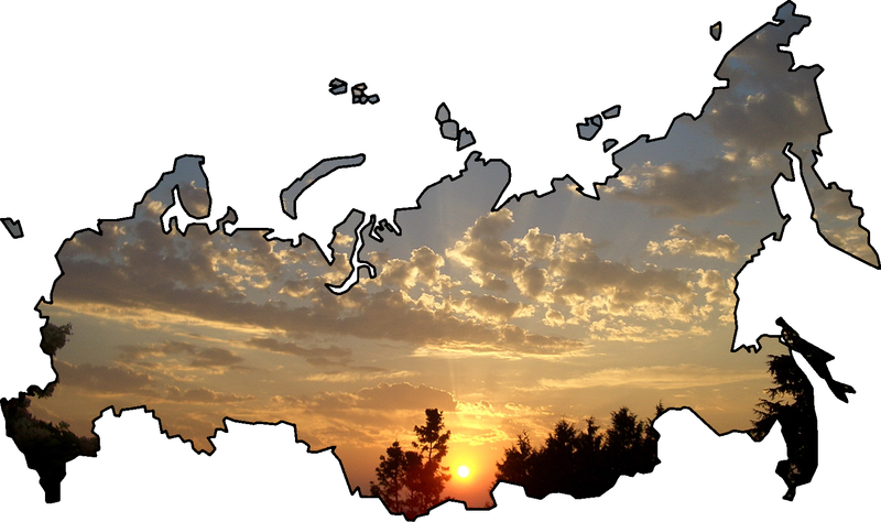
File:Map of Russia with Sunset.PNG

Size of this preview: 800 × 474 pixels. Other resolutions: 320 × 190 pixels | 640 × 379 pixels | 1,024 × 606 pixels | 1,621 × 960 pixels.
Original file (1,621 × 960 pixels, file size: 1.37 MB, MIME type: image/png)
File history
Click on a date/time to view the file as it appeared at that time.
| Date/Time | Thumbnail | Dimensions | User | Comment | |
|---|---|---|---|---|---|
| current | 17:48, 9 March 2008 |  | 1,621 × 960 (1.37 MB) | wikimediacommons>Nokka | {{Information |Description= |Source=own work |Date=01-09-2007 |Author=Osipov Georgiy |Permission= |other_versions= Category:Maps of Russia Category:Nokka's works}} |
File usage
The following 26 pages use this file:
- Buzuluksky Bor National Park
- Khibiny National Park
- Kislovodsk National Park
- Kodar National Park
- Koygorodsky National Park
- Kytalyk National Park
- Ladoga Skerries National Park
- Land of the Leopard National Park
- Nechkinsky National Park
- Nizhnyaya Kama National Park
- Pleshcheyevo Ozero National Park
- Russian Arctic National Park
- Russky Sever National Park
- Salair National Park
- Samursky National Park
- Sebezhsky National Park
- Sengiley Hills National Park
- Sochi National Park
- Tokinsko-Stanovoy National Park
- Vodlozersky National Park
- Zabaykalsky National Park
- Zavidovo National Park
- Zigalga National Park
- English Wikipedia @ Freddythechick:WikiProject Russia/Physical geography of Russia task force
- English Wikipedia @ Freddythechick:WikiProject Russia/rightpanel
- Template:National parks of Russia