File:Map of Texas highlighting Dimmit County.svg

Size of this PNG preview of this SVG file: 631 × 600 pixels. Other resolutions: 253 × 240 pixels | 505 × 480 pixels | 808 × 768 pixels | 1,078 × 1,024 pixels | 2,155 × 2,048 pixels | 1,386 × 1,317 pixels.
Original file (SVG file, nominally 1,386 × 1,317 pixels, file size: 222 KB)
| This is a file from the Wikimedia Commons. Information from its description page there is shown below. Commons is a freely licensed media file repository. You can help. |
| Description |
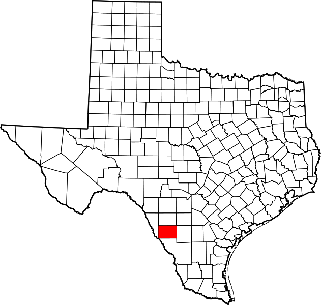
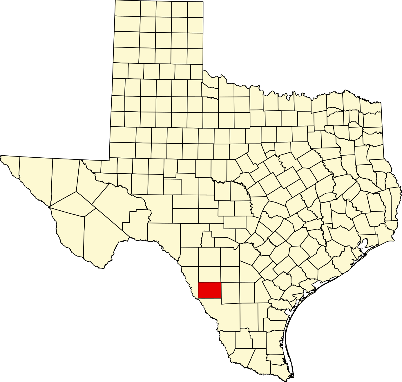
Norsk bokmål: Kart over Texas der Dimmit County er markert med rødt.
English: locator map showing Dimmit County in Texas. |
| Source | Own work |
| Author | David Benbennick |
| Other versions | Commons:United States county locator maps |
| I, the copyright holder of this work, release this work into the public domain. This applies worldwide. In some countries this may not be legally possible; if so: I grant anyone the right to use this work for any purpose, without any conditions, unless such conditions are required by law. |
File history
Click on a date/time to view the file as it appeared at that time.
| Date/Time | Thumbnail | Dimensions | User | Comment | |
|---|---|---|---|---|---|
| current | 01:44, 5 July 2024 | | 1,386 × 1,317 (222 KB) | wikimediacommons>Nux | fix rendering (remove clipping), uniform colors |
File usage
The following 14 pages use this file:
- Asher and Mary Isabelle Richardson House
- Asherton, Texas
- Big Wells, Texas
- Brundage, Texas
- Carrizo Hill, Texas
- Carrizo Springs, Texas
- Catarina, Texas
- Dimmit County, Texas
- List of counties in Texas
- National Register of Historic Places listings in Dimmit County, Texas
- Template:DimmitCountyTX-geo-stub
- Template:Dimmit County, Texas
- Category:Populated places in Dimmit County, Texas
- Category:Wikipedia requested photographs in Dimmit County, Texas