
File:Map of USA KS.svg

Size of this PNG preview of this SVG file: 286 × 186 pixels. Other resolutions: 320 × 208 pixels | 640 × 416 pixels | 1,024 × 666 pixels | 1,280 × 832 pixels | 2,560 × 1,665 pixels.
Original file (SVG file, nominally 286 × 186 pixels, file size: 167 KB)
| This is a file from the Wikimedia Commons. Information from its description page there is shown below. Commons is a freely licensed media file repository. You can help. |
Clickable version
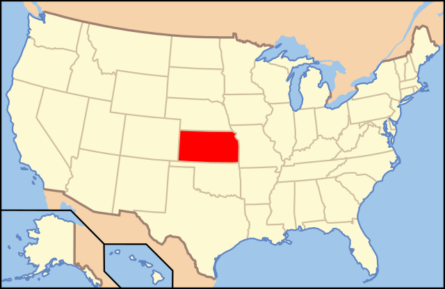
| Description | Map of USA with Kansas highlighted | ||||||||
| Date | see file history below. | ||||||||
| Source | own work by uploader, based on Image:Map of USA without state names.svg | ||||||||
| Author |
This version: uploader Base versions this one is derived from: originally created by en:User:Wapcaplet |
||||||||
| Permission (Reusing this file) |
This file is licensed under the Creative Commons Attribution 2.0 Generic license.
|
||||||||
| Other versions | image:Map of USA with state names.svg |

File history
Click on a date/time to view the file as it appeared at that time.
| Date/Time | Thumbnail | Dimensions | User | Comment | |
|---|---|---|---|---|---|
| current | 18:53, 31 August 2012 | | 286 × 186 (167 KB) | wikimediacommons>Homoatrox | the map is used for Kansas, not Iowa |
File usage
The following 31 pages use this file:
- Alcohol laws of Kansas
- Chase County National Bank
- Clements Stone Arch Bridge
- Clover Cliff Ranch House
- Cottonwood Falls Grade School
- Cottonwood River Bridge
- Cottonwood River Pratt Truss Bridge
- Council Grove National Bank
- Dalton Gang Hideout and Museum
- Diamond Spring (Wilsey, Kansas)
- Dunlap Colored Cemetery
- Four Mile Creek Lattice
- Fox Creek Stone Arch Bridge
- Furney Farm
- Greenwood Cemetery (Council Grove, Kansas)
- Gun laws in Kansas
- Hermit's Cave on Belfry Hill
- Jenkins Building
- Kingman Santa Fe Depot
- List of state and territory name etymologies of the United States
- Outline of Kansas
- Portal:Kansas/Intro
- Six Mile Creek Stage Station Historic District
- Strong City Atchison, Topeka, & Santa Fe Depot
- United States District Court for the District of Kansas
- United States Post Office (Council Grove, Kansas)
- Whitney Ranch
- Wichita Central Library
- William C. & Jane Shaft House
- William Young Site
- Template:National Register of Historic Places in Kansas