
File:Map of USA PR.svg

Size of this PNG preview of this SVG file: 286 × 186 pixels. Other resolutions: 320 × 208 pixels | 640 × 416 pixels | 1,024 × 666 pixels | 1,280 × 832 pixels | 2,560 × 1,665 pixels.
Original file (SVG file, nominally 286 × 186 pixels, file size: 182 KB)
| This is a file from the Wikimedia Commons. Information from its description page there is shown below. Commons is a freely licensed media file repository. You can help. |
Summary
| Description |
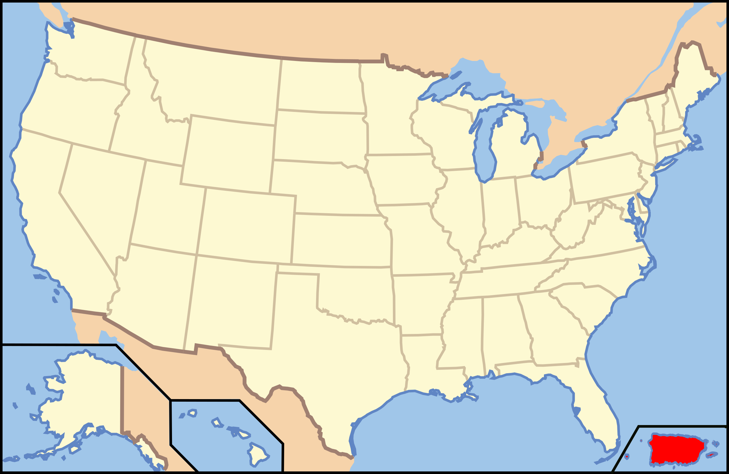
Español: Map of USA with Puerto Rico highlighted |
| Date | |
| Source | Own work |
| Author | Vrysxy |
| Other versions | image:Map of USA with state names.svg |
Licensing
I, the copyright holder of this work, hereby publish it under the following license:
This file is licensed under the Creative Commons Attribution-Share Alike 3.0 Unported license.
- You are free:
- to share – to copy, distribute and transmit the work
- to remix – to adapt the work
- Under the following conditions:
- attribution – You must give appropriate credit, provide a link to the license, and indicate if changes were made. You may do so in any reasonable manner, but not in any way that suggests the licensor endorses you or your use.
- share alike – If you remix, transform, or build upon the material, you must distribute your contributions under the same or compatible license as the original.
File history
Click on a date/time to view the file as it appeared at that time.
| Date/Time | Thumbnail | Dimensions | User | Comment | |
|---|---|---|---|---|---|
| current | 01:14, 17 July 2011 | | 286 × 186 (182 KB) | wikimediacommons>Vrysxy |
File usage
The following 31 pages use this file:
- Algodones 2 (12VPr2-204)
- Ball court/plaza sites of Puerto Rico and the U.S. Virgin Islands
- Baño Grande
- Baño de Oro
- Blanco Bridge
- Boiling Nuclear Superheater Reactor Facility
- Callejones Site
- Central Aguirre Historic District
- Church San José of Gurabo
- Church of Nuestra Señora de la Concepción y San Fernando of Toa Alta
- Concatedral Dulce Nombre de Jesús (Humacao, Puerto Rico)
- Cueva La Espiral
- Cueva Lucero
- Culebrita Lighthouse
- Daniel Webster School
- General Norzagaray Bridge
- Hacienda Los Torres
- Iglesia San Ramón Nonato
- Iglesia San Sebastián Mártir
- Languages of the United States
- Mavilla Bridge
- National Register of Historic Places listings in San Juan, Puerto Rico
- National Register of Historic Places listings in northern Puerto Rico
- National Register of Historic Places listings in southern Puerto Rico
- Palacete Los Moreau
- Puente de Coloso
- Puente de Trujillo Alto
- Rafael Balseiro Maceira School
- Río Grande Fire Station
- Walter McK. Jones School
- Template:National Register of Historic Places in Puerto Rico