File:Map of Virginia highlighting Smyth County.svg

Size of this PNG preview of this SVG file: 800 × 347 pixels. Other resolutions: 320 × 139 pixels | 640 × 278 pixels | 1,024 × 444 pixels | 1,280 × 555 pixels | 2,560 × 1,110 pixels | 2,495 × 1,082 pixels.
Original file (SVG file, nominally 2,495 × 1,082 pixels, file size: 159 KB)
| This is a file from the Wikimedia Commons. Information from its description page there is shown below. Commons is a freely licensed media file repository. You can help. |
Summary
| Description |
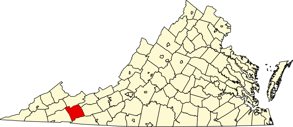
English: This is a locator map showing Smyth County in Virginia. For more information, see Commons:United States county locator maps. |
| Date | |
| Source |
Own work: English: The maps use data from nationalatlas.gov, specifically countyp020.tar.gz on the Raw Data Download page. The maps also use state outline data from statesp020.tar.gz. The Florida maps use hydrogm020.tar.gz to display Lake Okeechobee. |
| Author | David Benbennick |
| SVG development |
Licensing
| I, the copyright holder of this work, release this work into the public domain. This applies worldwide. In some countries this may not be legally possible; if so: I grant anyone the right to use this work for any purpose, without any conditions, unless such conditions are required by law. |
File history
Click on a date/time to view the file as it appeared at that time.
| Date/Time | Thumbnail | Dimensions | User | Comment | |
|---|---|---|---|---|---|
| current | 09:10, 5 July 2024 | | 2,495 × 1,082 (159 KB) | wikimediacommons>Nux | fix rendering (remove clipping), uniform colors |
File usage
The following 15 pages use this file:
- Adwolfe, Virginia
- Allison Gap, Virginia
- Atkins, Virginia
- Chilhowie, Virginia
- Groseclose, Smyth County, Virginia
- Lick Skillet, Virginia
- List of cities and counties in Virginia
- Marion, Virginia
- National Register of Historic Places listings in Smyth County, Virginia
- Nebo, Virginia
- Saltville, Virginia
- Smyth County, Virginia
- Sugar Grove, Virginia
- Template:Smyth County, Virginia
- Category:Populated places in Smyth County, Virginia