
File:Mexico Aguascalientes location map.svg

Size of this PNG preview of this SVG file: 741 × 599 pixels. Other resolutions: 297 × 240 pixels | 594 × 480 pixels | 950 × 768 pixels | 1,266 × 1,024 pixels | 2,532 × 2,048 pixels | 1,988 × 1,608 pixels.
Original file (SVG file, nominally 1,988 × 1,608 pixels, file size: 82 KB)
| This is a file from the Wikimedia Commons. Information from its description page there is shown below. Commons is a freely licensed media file repository. You can help. |
W3C-validity not checked.
Summary
| Description |
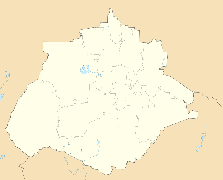
English: Location Map of Aguascalientes
Equirectangular projection, Geographic limits of the map:
|
| Date | |
| Source | Own work |
| Author | Addicted04 |
Licensing
| I, the copyright holder of this work, release this work into the public domain. This applies worldwide. In some countries this may not be legally possible; if so: I grant anyone the right to use this work for any purpose, without any conditions, unless such conditions are required by law. |
File history
Click on a date/time to view the file as it appeared at that time.
| Date/Time | Thumbnail | Dimensions | User | Comment | |
|---|---|---|---|---|---|
| current | 10:01, 16 July 2011 | | 1,988 × 1,608 (82 KB) | wikimediacommons>Battroid | {{ValidSVG}} == Summary == {{Information |Description={{en|1=Location Map of Aguascalientes Equirectangular projection, Geographic limits of the map: * N: 22.50° N * S: 21.60° N * W: 102.90° W * E: 101.70° W}} |Source={{own}} | |
File usage
The following 3 pages use this file: