
File:Midlothian UK location map.svg

Size of this PNG preview of this SVG file: 651 × 600 pixels. Other resolutions: 261 × 240 pixels | 521 × 480 pixels | 834 × 768 pixels | 1,111 × 1,024 pixels | 2,223 × 2,048 pixels | 1,425 × 1,313 pixels.
Original file (SVG file, nominally 1,425 × 1,313 pixels, file size: 796 KB)
| This is a file from the Wikimedia Commons. Information from its description page there is shown below. Commons is a freely licensed media file repository. You can help. |
| Description |
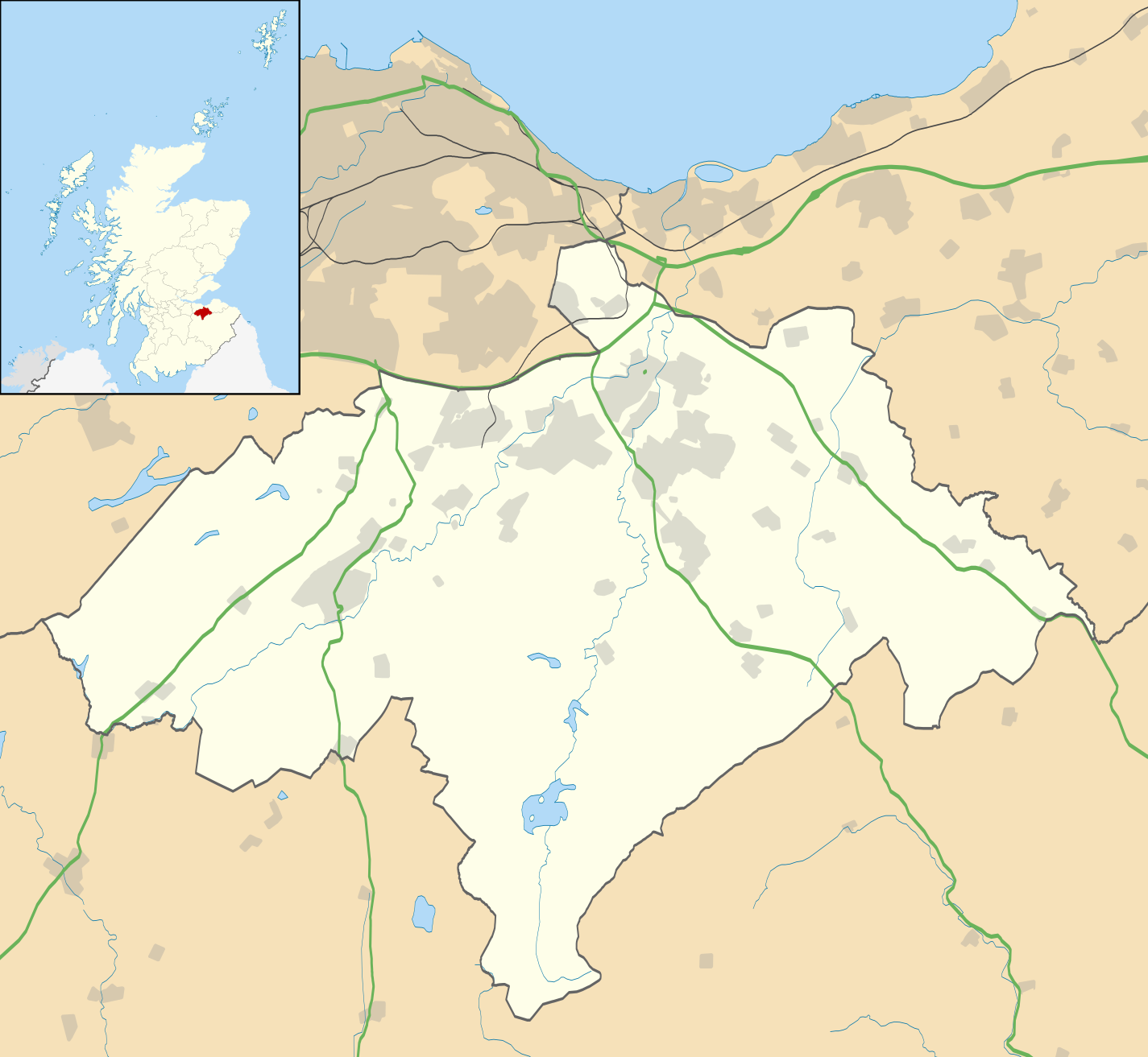
Blank map of Midlothian, UK with the following information shown:
Equirectangular map projection on WGS 84 datum, with N/S stretched 175% Geographic limits:
|
| Date | |
| Source |
|
| Author | Nilfanion, created using Ordnance Survey data |
| Permission (Reusing this file) |
This file is licensed under the Creative Commons Attribution-Share Alike 3.0 Unported license. Attribution: Contains Ordnance Survey data © Crown copyright and database right
|
| Other versions | File:Midlothian UK blank map.svg - Blank map |
File history
Click on a date/time to view the file as it appeared at that time.
| Date/Time | Thumbnail | Dimensions | User | Comment | |
|---|---|---|---|---|---|
| current | 21:17, 26 September 2010 | | 1,425 × 1,313 (796 KB) | wikimediacommons>Nilfanion | {{Information |Description=Blank map of Midlothian, UK with the following information shown: *Administrative borders *Coastline, lakes and rivers *Roads and railways *Urban areas Equirectangular map projection on WGS 84 datum, with N/S s |
File usage
The following 22 pages use this file:
- Arniston, Midlothian
- Birkenside, Midlothian
- Brunstane Castle
- Carrington, Midlothian
- Cockpen
- Corn Exchange, Dalkeith
- Cranston, Midlothian
- Crichton Castle
- D'Arcy, Midlothian
- Glencorse
- Gorebridge
- Hopefield, Bonnyrigg
- List of monastic houses in Scotland
- Loanhead
- Midlothian
- Midlothian Community Hospital
- Polton
- Roslin, Midlothian
- Rosslynlee Hospital
- Shawfair
- St David's Church, Dalkeith
- Whitehill, Midlothian