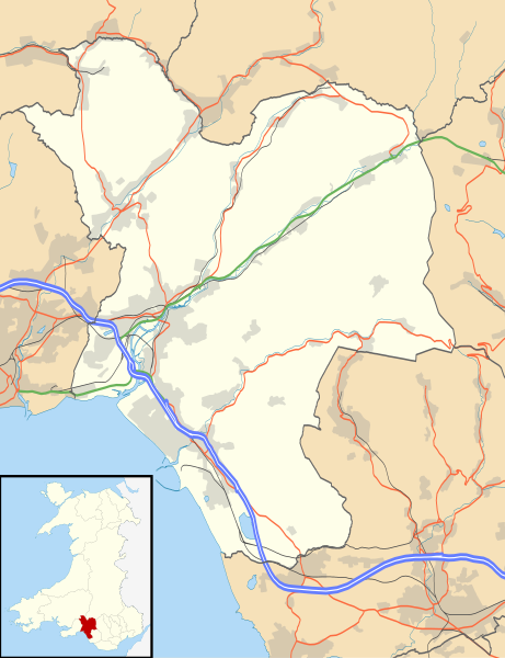
File:Neath Port Talbot UK location map.svg

Size of this PNG preview of this SVG file: 461 × 600 pixels. Other resolutions: 184 × 240 pixels | 369 × 480 pixels | 590 × 768 pixels | 787 × 1,024 pixels | 1,574 × 2,048 pixels | 973 × 1,266 pixels.
Original file (SVG file, nominally 973 × 1,266 pixels, file size: 679 KB)
File history
Click on a date/time to view the file as it appeared at that time.
| Date/Time | Thumbnail | Dimensions | User | Comment | |
|---|---|---|---|---|---|
| current | 20:36, 26 September 2010 |  | 973 × 1,266 (679 KB) | wikimediacommons>Nilfanion | {{Information |Description=Blank map of Neath Port Talbot, UK with the following information shown: *Administrative borders *Coastline, lakes and rivers *Roads and railways *Urban areas Equirectangular map projection on WGS 84 dat |
File usage
The following 35 pages use this file:
- Aberavon
- Alltwen
- Baglan, Neath Port Talbot
- Baglan Bay
- Banwen
- Blaengwrach
- Cimla
- Coed Darcy
- Croeserw
- Crynant
- Cwmllynfell
- Cwrt Herbert
- Cymmer, Neath Port Talbot
- Dyffryn Clydach
- Glyncorrwg
- Gwaun-Cae-Gurwen
- Jersey Marine
- List of Sites of Special Scientific Interest in Neath Port Talbot
- List of monastic houses in Wales
- Llandarcy Oil Refinery
- Margam
- Margam Stones Museum
- Neath
- Neath Port Talbot
- Neath Town Hall
- Onllwyn
- Pontrhydyfen
- Port Talbot
- Resolven
- Rheola House
- Rhos, Neath Port Talbot
- Seven Sisters, Neath Port Talbot
- Tonna, Neath
- Trebanos
- Ystalyfera