
File:Outline Map of Kostroma Oblast.svg

Size of this PNG preview of this SVG file: 800 × 560 pixels. Other resolutions: 320 × 224 pixels | 640 × 448 pixels | 1,024 × 716 pixels | 1,280 × 895 pixels | 2,560 × 1,791 pixels | 4,476 × 3,131 pixels.
Original file (SVG file, nominally 4,476 × 3,131 pixels, file size: 98 KB)
| This is a file from the Wikimedia Commons. Information from its description page there is shown below. Commons is a freely licensed media file repository. You can help. |
Summary
| Description |
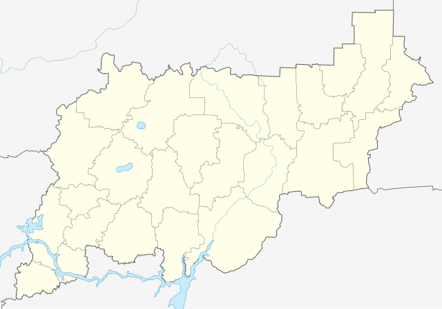
Русский: Контурная карта Костромской области, с границами районов и водоёмами.
|
| Date | |
| Source |
This W3C-unspecified vector image was created with Inkscape . |
| Author | Nzeemin |
| Other versions |
|

Licensing
I, the copyright holder of this work, hereby publish it under the following license:
This file is licensed under the Creative Commons Attribution-Share Alike 3.0 Unported license.
- You are free:
- to share – to copy, distribute and transmit the work
- to remix – to adapt the work
- Under the following conditions:
- attribution – You must give appropriate credit, provide a link to the license, and indicate if changes were made. You may do so in any reasonable manner, but not in any way that suggests the licensor endorses you or your use.
- share alike – If you remix, transform, or build upon the material, you must distribute your contributions under the same or compatible license as the original.
File history
Click on a date/time to view the file as it appeared at that time.
| Date/Time | Thumbnail | Dimensions | User | Comment | |
|---|---|---|---|---|---|
| current | 22:05, 30 March 2012 | | 4,476 × 3,131 (98 KB) | wikimediacommons>Nzeemin | border and rivers |
File usage
The following 16 pages use this file:
- Alexandrovka, Russia
- Chistye Bory
- Golovinsky (rural locality)
- Kadyy
- Krasnoye-na-Volge
- Kuzmino, Sudislavsky District, Kostroma Oblast
- Makaryev
- Manturovo, Kostroma Oblast
- Neya (town)
- Pervomayka
- Ponazyrevo
- Sharya
- Susanino, Kostroma Oblast
- Vetluzhsky, Kostroma Oblast
- Volgorechensk
- Zavrazhye, Kadyysky District, Kostroma Oblast