
File:Outline Map of Leningrad Oblast.svg

Size of this PNG preview of this SVG file: 800 × 574 pixels. Other resolutions: 320 × 229 pixels | 640 × 459 pixels | 1,024 × 734 pixels | 1,280 × 918 pixels | 2,560 × 1,836 pixels | 1,000 × 717 pixels.
Original file (SVG file, nominally 1,000 × 717 pixels, file size: 76 KB)
| This is a file from the Wikimedia Commons. Information from its description page there is shown below. Commons is a freely licensed media file repository. You can help. |
Summary
| Description |
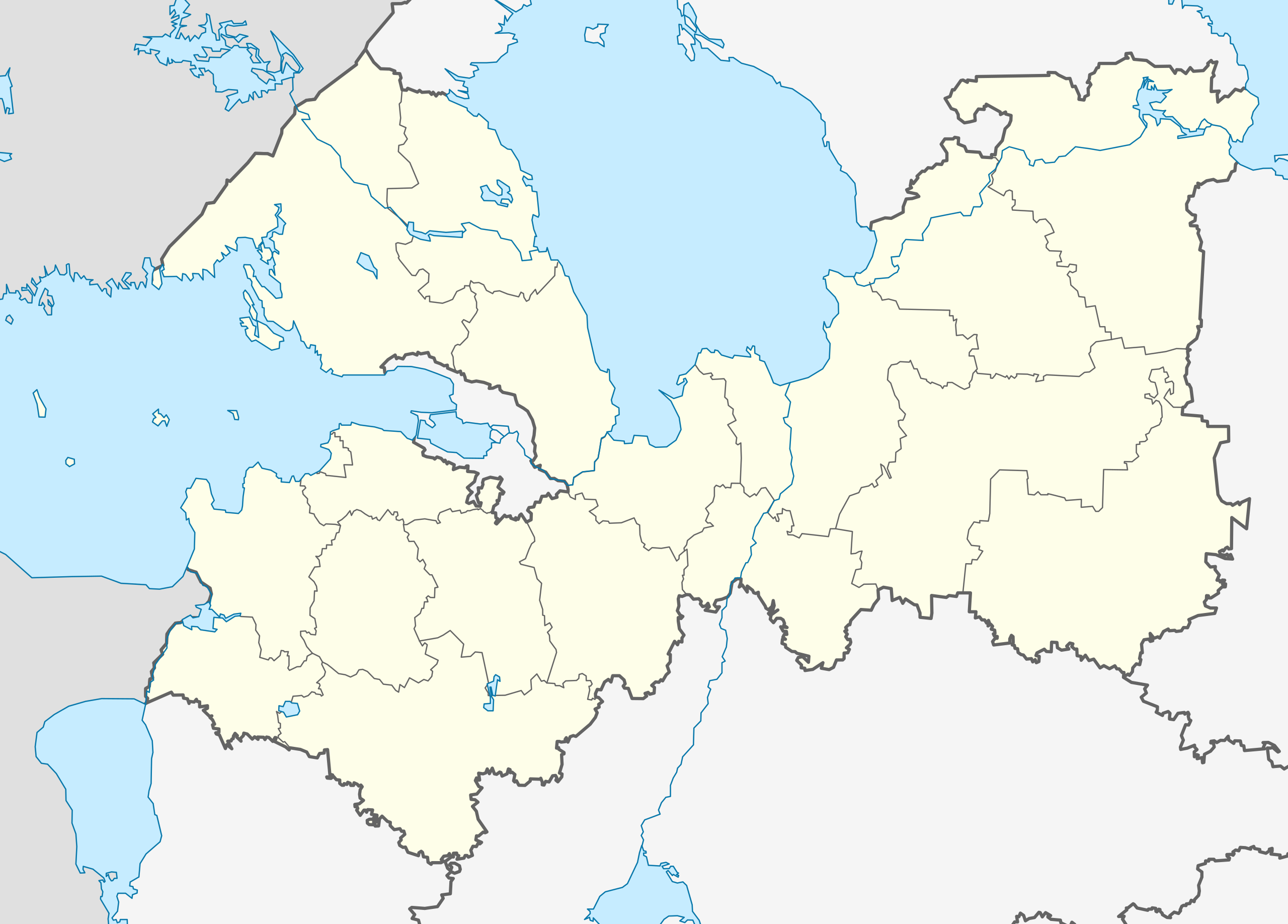
Русский: Позиционная карта Ленинградской области
|top = 61.5 |bottom = 58.2 |left = 26.7 |right = 35.9 |
| Date | |
| Source |
Own work
|
| Author | Виктор В |
| Other versions |
[] |
| SVG development |


Licensing
| I, the copyright holder of this work, release this work into the public domain. This applies worldwide. In some countries this may not be legally possible; if so: I grant anyone the right to use this work for any purpose, without any conditions, unless such conditions are required by law. |
File history
Click on a date/time to view the file as it appeared at that time.
| Date/Time | Thumbnail | Dimensions | User | Comment | |
|---|---|---|---|---|---|
| current | 06:45, 5 April 2018 | | 1,000 × 717 (76 KB) | wikimediacommons>Hellerick | Fixed Lomonosov/Gatchina border |
File usage
The following 37 pages use this file:
- Agalatovo
- Bolshekolpanskoe Rural Settlement
- Chudovo (air base)
- Dubrovka, Vsevolozhsky District, Leningrad Oblast
- Gromovo, Leningrad Oblast
- Gromovo (air base)
- Imeni Morozova
- Imeni Sverdlova, Russia
- Kinef
- Kingisepp
- Kirjasalo
- Kirovsk, Leningrad Oblast
- Kommunar, Gatchinsky District, Leningrad Oblast
- Krakolye
- Kuzmolovsky
- Lampovo
- Lodeynoye Pole
- Lodeynoye Pole (air base)
- Luga, Leningrad Oblast
- Mga
- Mginskoye Urban Settlement
- Murino, Leningrad Oblast
- Novoye Devyatkino
- Pribylovo (air base)
- Rakhya
- Shugozero
- Sinyavino, Leningrad Oblast
- Siversky
- Siversky (air base)
- Staraya Ladoga
- Sukho (island)
- Tosno
- Ulyanovka, Leningrad Oblast
- Ust-Luga
- Valdost
- Vyborg Castle
- Yefimovsky (urban-type settlement)