File:Outline Map of Rostov Oblast.svg

Size of this PNG preview of this SVG file: 519 × 599 pixels. Other resolutions: 208 × 240 pixels | 416 × 480 pixels | 665 × 768 pixels | 887 × 1,024 pixels | 1,775 × 2,048 pixels | 1,000 × 1,154 pixels.
Original file (SVG file, nominally 1,000 × 1,154 pixels, file size: 107 KB)
| This is a file from the Wikimedia Commons. Information from its description page there is shown below. Commons is a freely licensed media file repository. You can help. |
Summary
| Description |
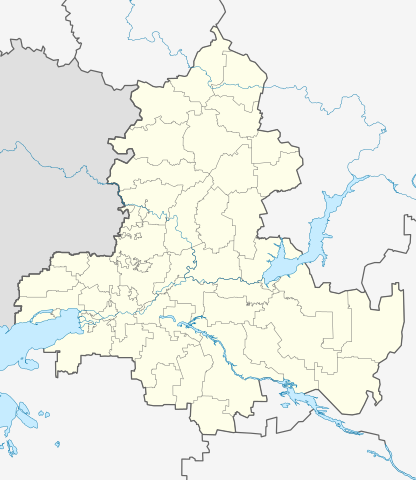
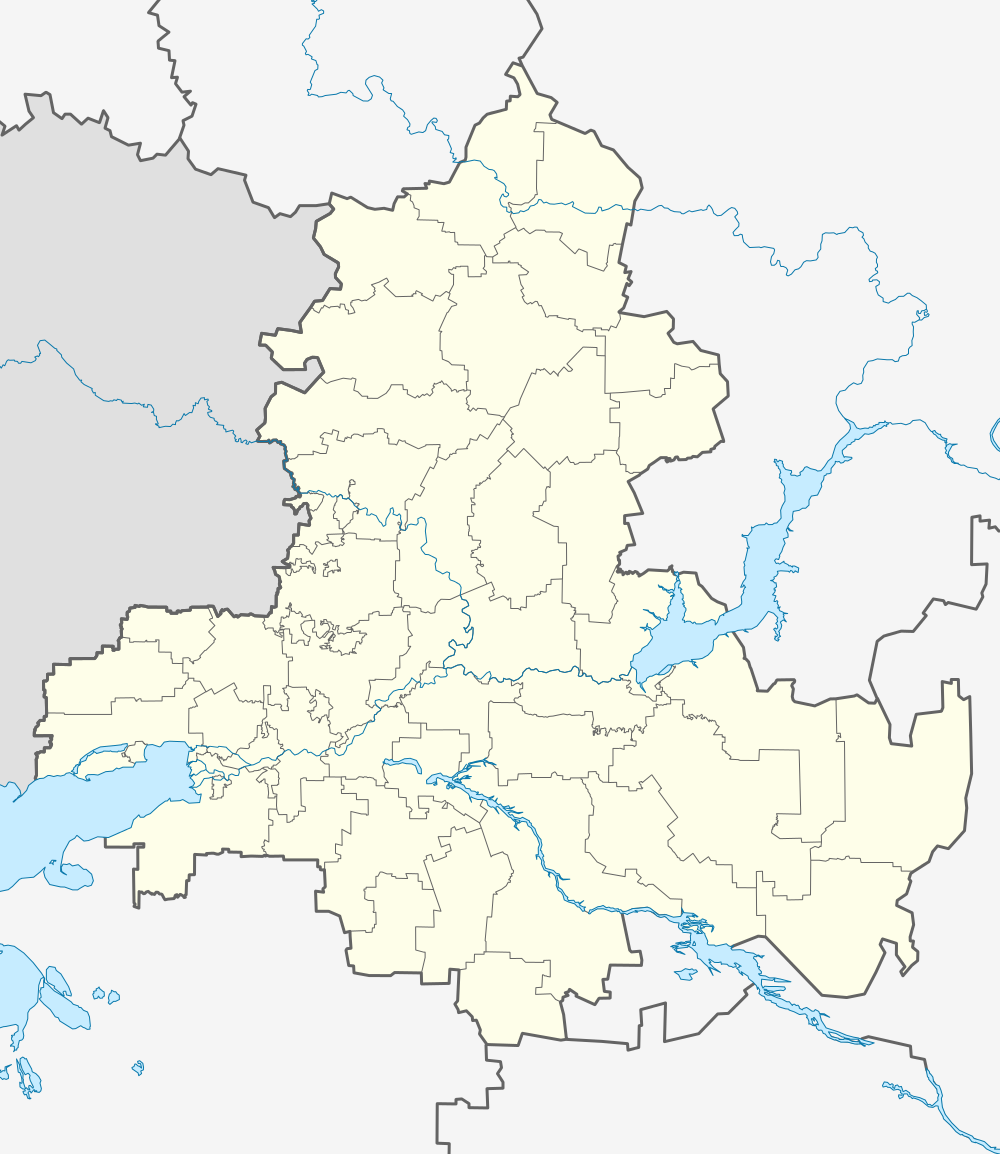
Русский: Позиционная карта Ростовской области Равноугольная проекция, растяжение — 150 %. Координаты краёв:
|
| Date | |
| Source |
Own work This W3C-unspecified vector image was created with Inkscape .
|
| Author | Виктор В |
| Other versions |
|

Licensing
| I, the copyright holder of this work, release this work into the public domain. This applies worldwide. In some countries this may not be legally possible; if so: I grant anyone the right to use this work for any purpose, without any conditions, unless such conditions are required by law. |
File history
Click on a date/time to view the file as it appeared at that time.
| Date/Time | Thumbnail | Dimensions | User | Comment | |
|---|---|---|---|---|---|
| current | 14:27, 3 April 2010 | | 1,000 × 1,154 (107 KB) | wikimediacommons>Виктор В | == {{int:filedesc}} == {{Information |Description={{ru|1=Позиционная карта Ростовской области<br>Равноугольная проекция, растяжение — 150 %. Координаты краёв: * север � |
File usage
The following 40 pages use this file:
- Aksay, Rostov Oblast
- Aksay Bridge
- Alexandrovka, Russia
- Azov
- Bataysk air base
- Bogoroditsky (rural locality)
- Egorlykskaya (air base)
- Gluboky, Kamensky District, Rostov Oblast
- Gorny, Krasnosulinsky District, Rostov Oblast
- Gukovo
- Kamenolomni
- Kirovsky City District, Rostov-on-Don
- Kondraty Bulavin house
- Kozinka
- Main building of Warsaw University (Rostov-on-Don)
- Millerovo air base
- Millerovo air base attack
- Morozovsk
- Morozovsk air base
- Nikanorovka, Rostov Oblast
- Novoshakhtinsk
- Persianovka
- Platov International Airport
- Rostov-on-Don
- Rostov-on-Don Airport
- Rostov-on-Don North (air base)
- Salsk
- Semyonovka, Russia
- Shelling of Donetsk, Rostov Oblast
- Sholokhovsky (urban-type settlement)
- Southern Federal District
- Taganrog-Central air base
- The Durov Museum
- The Long Canyon
- Tsimlyansk
- Uglerodovsky
- Ust-Donetsky (urban-type settlement)
- Zernograd
- Zernograd air base
- Zverevo