File:Outline map of Chelyabinsk Oblast OSM.svg

Size of this PNG preview of this SVG file: 503 × 600 pixels. Other resolutions: 201 × 240 pixels | 402 × 480 pixels | 644 × 768 pixels | 859 × 1,024 pixels | 1,717 × 2,048 pixels | 738 × 880 pixels.
Original file (SVG file, nominally 738 × 880 pixels, file size: 356 KB)
| This is a file from the Wikimedia Commons. Information from its description page there is shown below. Commons is a freely licensed media file repository. You can help. |
Summary
| Description |
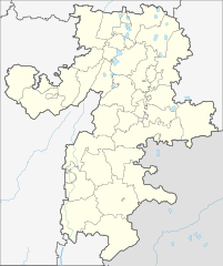
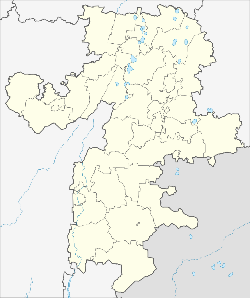
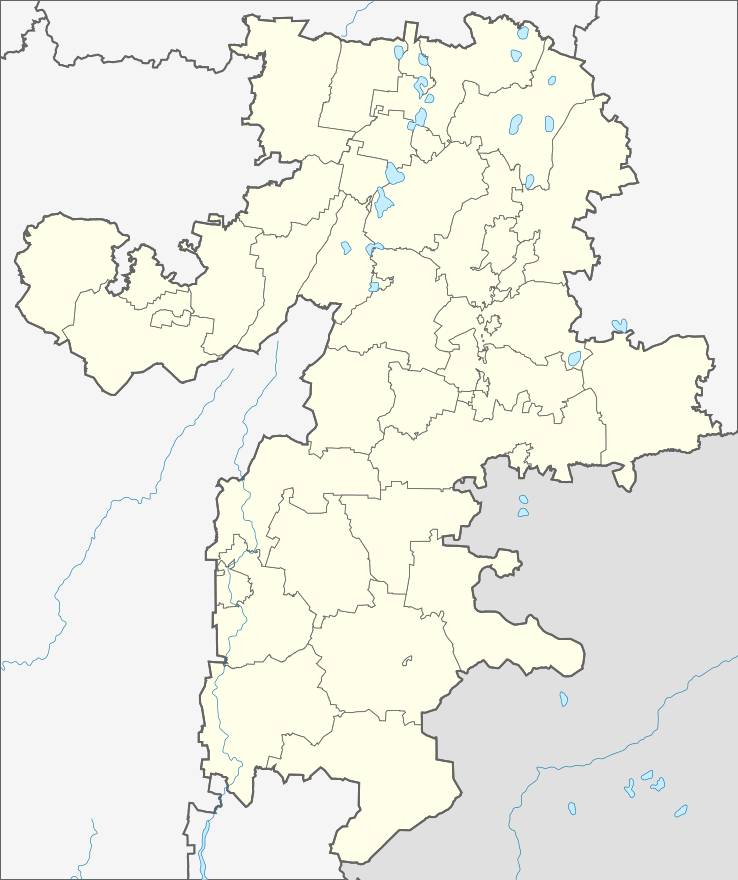
Русский: Административная карта Челябинской области, на основе OpenStreetMap.
|
| Date | |
| Source |
This W3C-unspecified vector image was created with Inkscape . |
| Author | Nzeemin |
| Other versions |
|

Licensing
This file is licensed under the Creative Commons Attribution-Share Alike 2.0 Generic license.
- You are free:
- to share – to copy, distribute and transmit the work
- to remix – to adapt the work
- Under the following conditions:
- attribution – You must give appropriate credit, provide a link to the license, and indicate if changes were made. You may do so in any reasonable manner, but not in any way that suggests the licensor endorses you or your use.
- share alike – If you remix, transform, or build upon the material, you must distribute your contributions under the same or compatible license as the original.
File history
Click on a date/time to view the file as it appeared at that time.
| Date/Time | Thumbnail | Dimensions | User | Comment | |
|---|---|---|---|---|---|
| current | 10:05, 17 March 2012 | | 738 × 880 (356 KB) | wikimediacommons>Nzeemin |
File usage
The following 30 pages use this file:
- Alexandrovka, Russia
- Asha, Russia
- Belyayevo
- Berdyaush
- Bredy
- Chelyabinsk
- Chelyabinsk Shagol Airport
- Dolgoderevenskoye
- Korkino, Chelyabinsk Oblast
- Krasnogorsky, Chelyabinsk Oblast
- Kropachyovo
- Magnitka (urban-type settlement)
- Magnitogorsk International Airport
- Mezhevoy
- Mezhozyorny
- Minyar
- Pervomayka
- Pervomaysky, Korkinsky District, Chelyabinsk Oblast
- Roza, Chelyabinsk Oblast
- Semyonovka, Russia
- Suleya
- Troitsk (air base)
- Tryokhgorny
- Uprun (air base)
- Ural Federal District
- Uyskoye
- Vishnyovogorsk
- Yetkul
- Yuzhny, Nagaybaksky District, Chelyabinsk Oblast
- Zauralsky