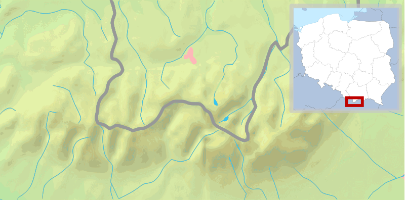
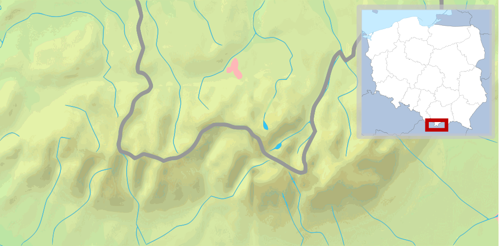
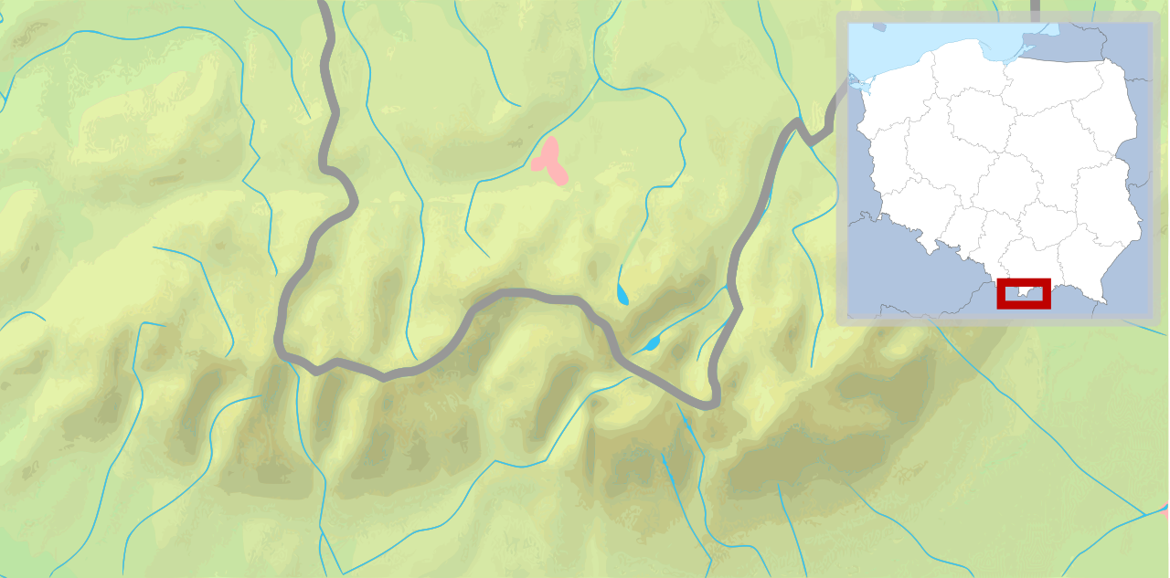
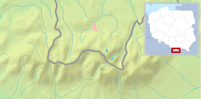
File:POL Tatry.svg

Size of this PNG preview of this SVG file: 800 × 396 pixels. Other resolutions: 320 × 158 pixels | 640 × 316 pixels | 1,024 × 506 pixels | 1,280 × 633 pixels | 2,560 × 1,266 pixels | 811 × 401 pixels.
Original file (SVG file, nominally 811 × 401 pixels, file size: 5.36 MB)
| This is a file from the Wikimedia Commons. Information from its description page there is shown below. Commons is a freely licensed media file repository. You can help. |
| Description |
English: Map of the Tatra Mountains Polski: Mapa Tatr |
||
| Date | (UTC) | ||
| Source | |||
| Author |
|
||
| Other versions |
|
||
| SVG development |
|


This file is licensed under the Creative Commons Attribution-Share Alike 3.0 Unported license.
- You are free:
- to share – to copy, distribute and transmit the work
- to remix – to adapt the work
- Under the following conditions:
- attribution – You must give appropriate credit, provide a link to the license, and indicate if changes were made. You may do so in any reasonable manner, but not in any way that suggests the licensor endorses you or your use.
- share alike – If you remix, transform, or build upon the material, you must distribute your contributions under the same or compatible license as the original.
Original upload log
This image is a derivative work of the following images:
- File:Tatry mapa 2.png licensed with PD-Demis
- 2008-09-02T21:41:25Z ToSter 811x401 (305387 Bytes) {{Information |Description={{en|1=Map of the Tatra Mountains}} {{pl|1=Mapa Tatr}} |Source=PD map from Demis - modified version of [[:Image:Tatry mapa.png]] by [[User:Botev]] |Author=[[User:ToSter|ToSter]] |Date=Sep 2nd, 2008
- File:Poland location map white.svg licensed with Cc-by-sa-3.0, Cc-by-sa-3.0/en
- 2009-01-29T00:51:50Z Mareklug 862x838 (358904 Bytes) {{Information |Description={{de| Positionskarte von Polen auf weissem Hintergrund. Quadratische Plattkarte, N-S-Streckung 160 %. Geographische Begrenzung der Karte: * N: 55.2° N * S: 48.7° N * W: 13.8° O * O: 24.5° O {{en
Uploaded with derivativeFX
File history
Click on a date/time to view the file as it appeared at that time.
| Date/Time | Thumbnail | Dimensions | User | Comment | |
|---|---|---|---|---|---|
| current | 11:30, 11 February 2009 | | 811 × 401 (5.36 MB) | wikimediacommons>Mareklug | pozycjonowanie w górnym rogu na życzenie, ramka (subtelna, półprzezroczysta) / positioning in upper corner on request, border (a suttle, semi-transparent one) |
File usage
The following page uses this file: