
File:Philippines relief location map (square).svg

Size of this PNG preview of this SVG file: 600 × 600 pixels. Other resolutions: 240 × 240 pixels | 480 × 480 pixels | 768 × 768 pixels | 1,024 × 1,024 pixels | 2,048 × 2,048 pixels | 1,332 × 1,332 pixels.
Original file (SVG file, nominally 1,332 × 1,332 pixels, file size: 2.23 MB)
| This is a file from the Wikimedia Commons. Information from its description page there is shown below. Commons is a freely licensed media file repository. You can help. |
.svg)
Summary
| Description |
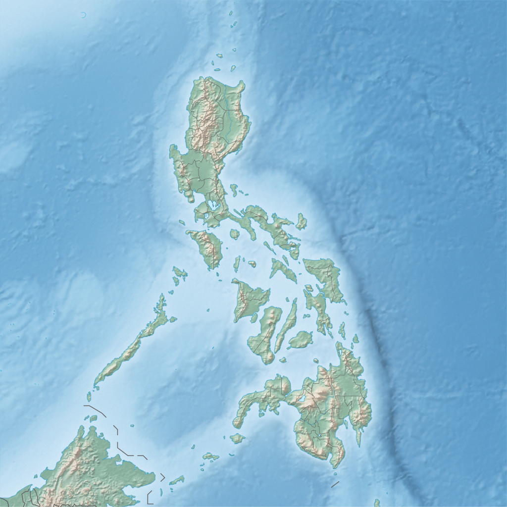
English: Physical location map of the Philippines
Equirectangular projection based on the parallel of 10°43' N
|
| Date | |
| Source | Own work |
| Author | Hellerick |
Licensing
I, the copyright holder of this work, hereby publish it under the following license:
This file is licensed under the Creative Commons Attribution-Share Alike 3.0 Unported license.
- You are free:
- to share – to copy, distribute and transmit the work
- to remix – to adapt the work
- Under the following conditions:
- attribution – You must give appropriate credit, provide a link to the license, and indicate if changes were made. You may do so in any reasonable manner, but not in any way that suggests the licensor endorses you or your use.
- share alike – If you remix, transform, or build upon the material, you must distribute your contributions under the same or compatible license as the original.
File history
Click on a date/time to view the file as it appeared at that time.
| Date/Time | Thumbnail | Dimensions | User | Comment | |
|---|---|---|---|---|---|
| current | 17:32, 16 June 2013 | | 1,332 × 1,332 (2.23 MB) | wikimediacommons>Hellerick | User created page with UploadWizard |
File usage
More than 100 pages use this file. The following list shows the first 100 pages that use this file only. A full list is available.
.svg)
- 1645 Luzon earthquake
- 1879 Surigao earthquake
- 1977 World Cup (men's golf)
- 1996 Espirito Santo Trophy
- 2017 Surigao earthquake
- 2019 Davao del Sur earthquake
- Abatan River
- Agoo–Damortis Protected Landscape and Seascape
- Angat River
- Angat Watershed Forest Reserve
- Aurora Memorial National Park
- Ave Maria Island
- Balbalasang–Balbalan National Park
- Baliangao Protected Landscape and Seascape
- Balintang Channel
- Balintang Islands
- Bangan Hill National Park
- Bantac River
- Bataan National Park
- Biak-na-Bato National Park
- Biri Larosa Protected Landscape and Seascape
- Bucas Grande
- Buenavista Protected Landscape
- Buhisan Dam
- Bulabog Putian National Park
- Buluan River
- Caparangasan
- Cassamata Hill National Park
- Dampilasan River
- Danjugan Island
- Davao Prison and Penal Farm
- December 2023 Mindanao earthquake
- Digos River
- Dinagat Island
- Dumaran Island
- East Avenue Medical Center
- Fort San Felipe (Cavite)
- Fuyot Springs National Park
- Gato Island
- Guadalupe Mabugnao Mainit Hot Spring National Park
- Guyangan Cave System
- Historic Bridges of Romblon
- Ilagan River
- Initao–Libertad Protected Landscape and Seascape
- Ivuhos
- Iwahig River
- Kabacan River
- Kalabugao River
- Kalawaig River
- Kuapnit Balinsasayao National Park
- Lake Bato
- Lake Butig National Park
- Lake Dasay
- Lake Lanao
- Lake Napalit
- Lake Sebu
- Libmanan Caves National Park
- Limbones Island
- M'lang River
- Mabini Protected Landscape and Seascape
- Macajalar Bay
- Mado Hot Spring National Park
- Malitubog River
- Maramag River
- Marbel River
- Matalag River
- Mavulis Island
- Minalungao National Park
- Mindanao
- Mount Bintuod
- Mount San Cristobal
- Mount Tagubud
- Mounts Iglit–Baco Natural Park
- Naval Base Cavite
- Nogas Island
- Pagsanjan Gorge National Park
- Pantabangan–Carranglan Watershed Forest Reserve
- Pantuwaraya Lake National Park
- Philippine Air Force Aerospace Museum
- Philippine Army Museum
- Philippine Trench
- Pinacanauan River
- Puerto Princesa Subterranean River National Park
- Pulangi River
- Rio Grande de Mindanao
- Rizal Archaeological Site (Kalinga)
- Rungkunan National Park
- Sacred Mountain National Park
- Salikata National Park
- Salug River
- San Roque Dam (Philippines)
- Santa Maria River (Philippines)
- Solaire Open
- Sulu Archipelago
- Taal Volcano Main Crater Lake
- Taklong Island
- Taluksangay Mosque
- Twin Forts of Romblon
- Upper Tabuating Dam
- Wawa River (Agusan del Sur)
View more links to this file.
.svg)