
File:Saarland location map 02.svg

Size of this PNG preview of this SVG file: 658 × 540 pixels. Other resolutions: 293 × 240 pixels | 585 × 480 pixels | 936 × 768 pixels | 1,248 × 1,024 pixels | 2,496 × 2,048 pixels.
Original file (SVG file, nominally 658 × 540 pixels, file size: 125 KB)
| This is a file from the Wikimedia Commons. Information from its description page there is shown below. Commons is a freely licensed media file repository. You can help. |
Summary
| Description |
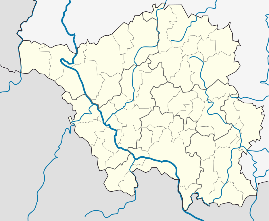
English: Position map of the state of Saarland with the six disticts and fiftytwo municipalities
Geographic limits of the map: * N: 49.65° N * S: 49.09° N * W: 6.3° E * E: 7.405° E Deutsch: Positionskarte vom Bundesland Saarland mit seinen sechs Kreisen und 52 Gemeinden Quadratische Plattkarte. Geographische Begrenzung der Karte: * N: 49.65° N * S: 49.09° N * W: 6.3° E * E: 7.405° E |
| Date | |
| Source |
Own work, based on: |
| Author |
TUBS |
| Other versions |
 |
Licensing
I, the copyright holder of this work, hereby publish it under the following license:
This file is licensed under the Creative Commons Attribution-Share Alike 3.0 Unported license.
- You are free:
- to share – to copy, distribute and transmit the work
- to remix – to adapt the work
- Under the following conditions:
- attribution – You must give appropriate credit, provide a link to the license, and indicate if changes were made. You may do so in any reasonable manner, but not in any way that suggests the licensor endorses you or your use.
- share alike – If you remix, transform, or build upon the material, you must distribute your contributions under the same or compatible license as the original.
File history
Click on a date/time to view the file as it appeared at that time.
| Date/Time | Thumbnail | Dimensions | User | Comment | |
|---|---|---|---|---|---|
| current | 16:09, 22 March 2010 | | 658 × 540 (125 KB) | wikimediacommons>TUBS | == {{int:filedesc}} == {{Information |Description={{en|1=Position map of the state of Saarland with the six disticts and fiftytwo municipalities<br> Geographic limits of the map: * N: 49.65° N * S: 49.09° N * W: 6.3° E * E: 7.405° E}} {{de|1=Positions |
File usage
The following 36 pages use this file:
- Beckingen
- Berus
- Bierbach an der Blies
- Bisten, Saarland
- Bliesmengen-Bolchen
- Borg, Saarland
- Einöd
- Fraulautern
- Hasborn-Dautweiler
- Homburg, Saarland
- Homburg (Saar) Hauptbahnhof
- Ihn (Wallerfangen)
- Jägersburg
- Karlsbrunn
- Kirrberg (Saar)
- Medelsheim
- Merburg
- Merzig
- Naßweiler
- Neunkirchen, Saarland
- Oberthal, Saarland
- Ottweiler
- Perl, Saarland
- Rehlingen-Siersburg
- Reimsbach
- Saarbrücken
- Saarlouis
- Saarwellingen
- Scheidt (Saarbrücken)
- Tholey
- Veldenz Castle
- Wadern
- Wadgassen
- Wadrilltal
- Wallerfangen
- Winterbach (St. Wendel)