
File:Spain location map with provinces.svg

Size of this PNG preview of this SVG file: 699 × 600 pixels. Other resolutions: 280 × 240 pixels | 559 × 480 pixels | 895 × 768 pixels | 1,193 × 1,024 pixels | 2,387 × 2,048 pixels | 1,184 × 1,016 pixels.
Original file (SVG file, nominally 1,184 × 1,016 pixels, file size: 3.01 MB)
| This is a file from the Wikimedia Commons. Information from its description page there is shown below. Commons is a freely licensed media file repository. You can help. |
Summary
| Description |
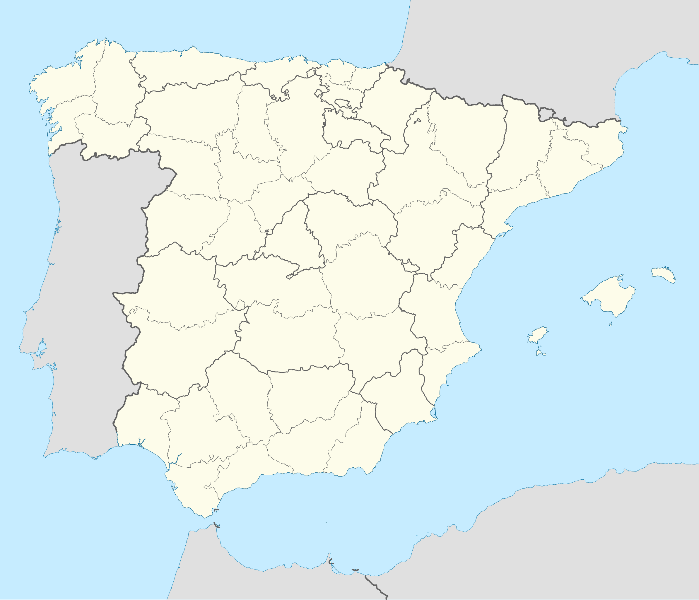
English: Location map of Spain
Equirectangular projection, N/S stretching 130 %. Geographic limits of the map:
Deutsch: Positionskarte von Spanien
Quadratische Plattkarte, N-S-Streckung 130 %. Geographische Begrenzung der Karte:
|
| Date | |
| Source |
Own work based on: ✦  Spain location map.svg by NNW Spain location map.svg by NNW✦  A Coruna in Spain.svg by TUBS A Coruna in Spain.svg by TUBS |
| Author | Roi González Villa (Vivaelcelta) |
| Other versions |
Derivative works of this file: Spain location map.svg
|
| SVG development | This W3C-invalid locator map was created with Adobe Illustrator by NordNordWest, and with Inkscape. This Adobe SVG locator map is very large because NordNordWest kept the superfluous Adobe PGF or other CDATA garbage . |
.svg)
Licensing
I, the copyright holder of this work, hereby publish it under the following licenses:

|
Permission is granted to copy, distribute and/or modify this document under the terms of the GNU Free Documentation License, Version 1.2 or any later version published by the Free Software Foundation; with no Invariant Sections, no Front-Cover Texts, and no Back-Cover Texts. A copy of the license is included in the section entitled GNU Free Documentation License. |
This file is licensed under the Creative Commons Attribution-Share Alike 3.0 Unported license.
- You are free:
- to share – to copy, distribute and transmit the work
- to remix – to adapt the work
- Under the following conditions:
- attribution – You must give appropriate credit, provide a link to the license, and indicate if changes were made. You may do so in any reasonable manner, but not in any way that suggests the licensor endorses you or your use.
- share alike – If you remix, transform, or build upon the material, you must distribute your contributions under the same or compatible license as the original.
You may select the license of your choice.
File history
Click on a date/time to view the file as it appeared at that time.
| Date/Time | Thumbnail | Dimensions | User | Comment | |
|---|---|---|---|---|---|
| current | 18:54, 20 May 2025 | | 1,184 × 1,016 (3.01 MB) | wikimediacommons>Fernando | Reverted to version as of 18:40, 23 September 2019 (UTC). Reverted to the proper SVG file. The inclusion of the Canary islands do not belong here as this map is used for geotagging with coordinates. Another map with the islands can be found here: File:España-Canarias-loc.svg |
File usage
More than 100 pages use this file. The following list shows the first 100 pages that use this file only. A full list is available.
- 2012–13 La Liga
- 2023–24 División de Honor de Rugby
- 2024–25 Liga ASOBAL
- Abenozas
- Agullana
- Alagón, Zaragoza
- Albanyà
- Alcorcillo
- Aldehuela, Pinofranqueado
- Algimia de Almonacid
- Alicante
- Almanza
- Almedíjar
- Amieva (parish)
- Azuébar
- Benavente de Aragón
- Berodia
- Biniés
- Bixega
- Bonete
- Cabezo
- Carabusino
- Casarrubia
- Castillo, Pinofranqueado
- Castilsabás
- Castle of Pioz
- Cañete, Cuenca
- Centenero
- Cerezal (Nuñomoral)
- Chapel of Luis de Lucena
- Codes, Maranchón
- Collados (Cuenca)
- Entrepeñas, Spain
- Escuer
- Espolla
- Fageca
- Fortià
- Garriguella
- Gometxa
- LNFA 2011
- La Nou de Berguedà
- La Vajol
- Las Erías
- Las Herrerías, Cuevas del Almanzora
- Ligüerre de Ara
- List of World Heritage Sites in Spain
- Llaguarres
- Llebredo
- Llers
- Loscertales
- Manises Air Base
- Marcén
- Masarac
- Mesegal
- Millena
- Mollet de Peralada
- Montorio, Province of Burgos
- Montán
- Muela, Pinofranqueado
- Navarrete, La Rioja
- Ocilla y Ladrera
- Orbaneja del Castillo
- Orxeta
- Ovejuela
- Palancares
- Pedret i Marzà
- Penàguila
- Piedrafita de Jaca
- Pina de Montalgrao
- Pociello
- Prado, Spain
- Ribagorda
- Riomalo de Arriba
- Rozadas
- San Lorenzo del Flumen
- San Román (Huesca)
- San Salvador del Valledor
- San Xuan de Nieva
- Sant Pere Pescador
- Santa Llogaia d'Àlguema
- Santu Medero
- Sebarga
- Sipán, Spain
- Suares
- Tagarrosa
- Teresa, Castellón
- Tivenys
- Tollos
- Tordelpalo
- Torrelavit
- Torres, Jaén
- Tower of Álvar Fáñez
- Triste, Pañas de Riglos
- Vall de Almonacid
- Vallat
- Venta de Ballerías
- Ventalló
- Villablanca
- Villalangua
- Villaseca (Cuenca)
View more links to this file.