File:Torfaen UK location map.svg

Size of this PNG preview of this SVG file: 562 × 599 pixels. Other resolutions: 225 × 240 pixels | 450 × 480 pixels | 720 × 768 pixels | 960 × 1,024 pixels | 1,920 × 2,048 pixels | 1,187 × 1,266 pixels.
Original file (SVG file, nominally 1,187 × 1,266 pixels, file size: 496 KB)
| This is a file from the Wikimedia Commons. Information from its description page there is shown below. Commons is a freely licensed media file repository. You can help. |
| Description |
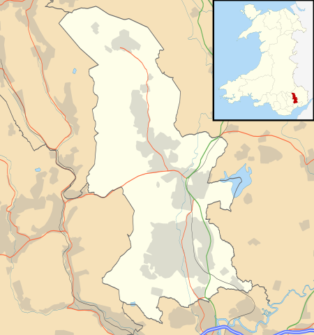
Blank map of Torfaen, UK with the following information shown:
Equirectangular map projection on WGS 84 datum, with N/S stretched 160% Geographic limits:
|
| Date | |
| Source |
|
| Author | Nilfanion, created using Ordnance Survey data |
| Permission (Reusing this file) |
This file is licensed under the Creative Commons Attribution-Share Alike 3.0 Unported license. Attribution: Contains Ordnance Survey data © Crown copyright and database right
|
| Other versions | File:Torfaen UK map.svg - Blank map |
File history
Click on a date/time to view the file as it appeared at that time.
| Date/Time | Thumbnail | Dimensions | User | Comment | |
|---|---|---|---|---|---|
| current | 20:45, 26 September 2010 | | 1,187 × 1,266 (496 KB) | wikimediacommons>Nilfanion | {{Information |Description=Blank map of Torfaen, UK with the following information shown: *Administrative borders *Coastline, lakes and rivers *Roads and railways *Urban areas Equirectangular map projection on WGS 84 datum, with N/S stretche |
File usage
The following 20 pages use this file:
- Abersychan
- Blaenavon Industrial Landscape
- County Hospital, Torfaen
- Croesyceiliog
- Cwmbran
- Forge Row, Cwmavon
- Garn-yr-erw
- Grange University Hospital
- Griffithstown
- Henllys, Torfaen
- List of Sites of Special Scientific Interest in Torfaen
- List of monastic houses in Wales
- List of scheduled monuments in Torfaen
- Llanfrechfa Grange Hospital
- New Inn
- Panteg
- Pontymoile
- Pontypool Town Hall
- Torfaen
- Upper Cwmbran