File:Ulster locator map.svg

Size of this PNG preview of this SVG file: 481 × 599 pixels. Other resolutions: 192 × 240 pixels | 385 × 480 pixels | 616 × 768 pixels | 822 × 1,024 pixels | 1,643 × 2,048 pixels | 1,450 × 1,807 pixels.
Original file (SVG file, nominally 1,450 × 1,807 pixels, file size: 699 KB)
| This is a file from the Wikimedia Commons. Information from its description page there is shown below. Commons is a freely licensed media file repository. You can help. |
Summary
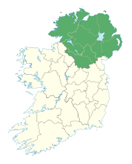
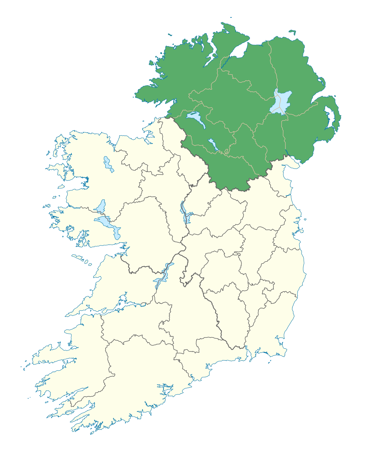
| Description | Locator map of Ulster. |
| Date | (UTC) |
| Source | |
| Author |
|
Licensing
I, the copyright holder of this work, hereby publish it under the following license:
This file is licensed under the Creative Commons Attribution-Share Alike 3.0 Unported license.
- You are free:
- to share – to copy, distribute and transmit the work
- to remix – to adapt the work
- Under the following conditions:
- attribution – You must give appropriate credit, provide a link to the license, and indicate if changes were made. You may do so in any reasonable manner, but not in any way that suggests the licensor endorses you or your use.
- share alike – If you remix, transform, or build upon the material, you must distribute your contributions under the same or compatible license as the original.
File history
Click on a date/time to view the file as it appeared at that time.
| Date/Time | Thumbnail | Dimensions | User | Comment | |
|---|---|---|---|---|---|
| current | 20:49, 7 January 2012 | | 1,450 × 1,807 (699 KB) | wikimediacommons>NikNaks | Fix |
File usage
The following 23 pages use this file:
- Aghla More
- Benbradagh
- Black Mountain (Belfast)
- Crocknalaragagh
- Cuilcagh
- Denis Rankin Round
- Glenariff
- Glenarm
- Glendun
- Laggan Army
- Loughermore
- Mullaghmore, County Londonderry
- Sawel Mountain
- Seven Sisters, Donegal
- Slemish
- Slieve Beagh
- Slieve Lamagan
- Slieve Snaght
- Slieve True
- Ulster
- Template:Mountains and hills of Ulster
- Template:User Ulster
- Template:User Ulster Accent