File:Veracruz en México.svg

Size of this PNG preview of this SVG file: 800 × 536 pixels. Other resolutions: 320 × 215 pixels | 640 × 429 pixels | 1,024 × 687 pixels | 1,280 × 858 pixels | 2,560 × 1,716 pixels | 974 × 653 pixels.
Original file (SVG file, nominally 974 × 653 pixels, file size: 218 KB)
| This is a file from the Wikimedia Commons. Information from its description page there is shown below. Commons is a freely licensed media file repository. You can help. |
| Description |
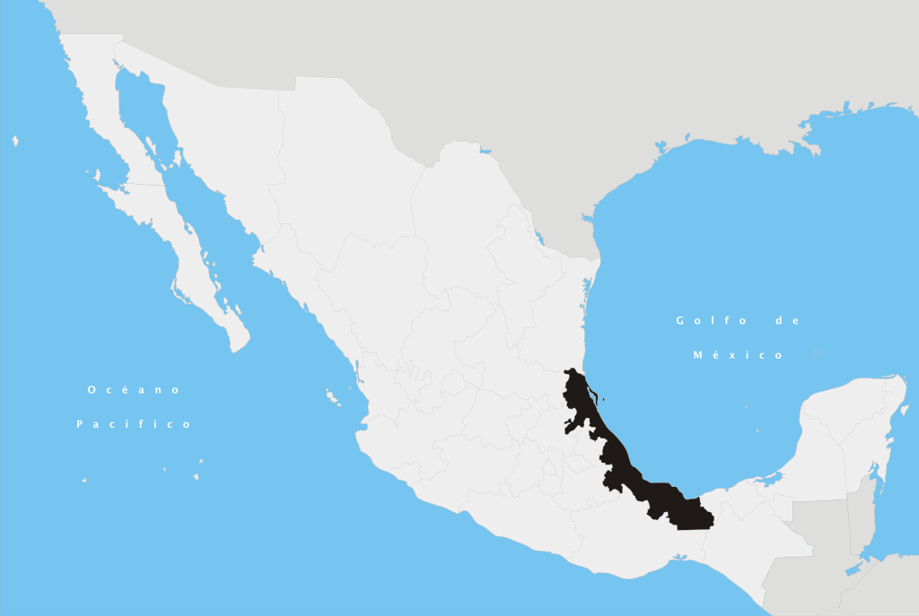
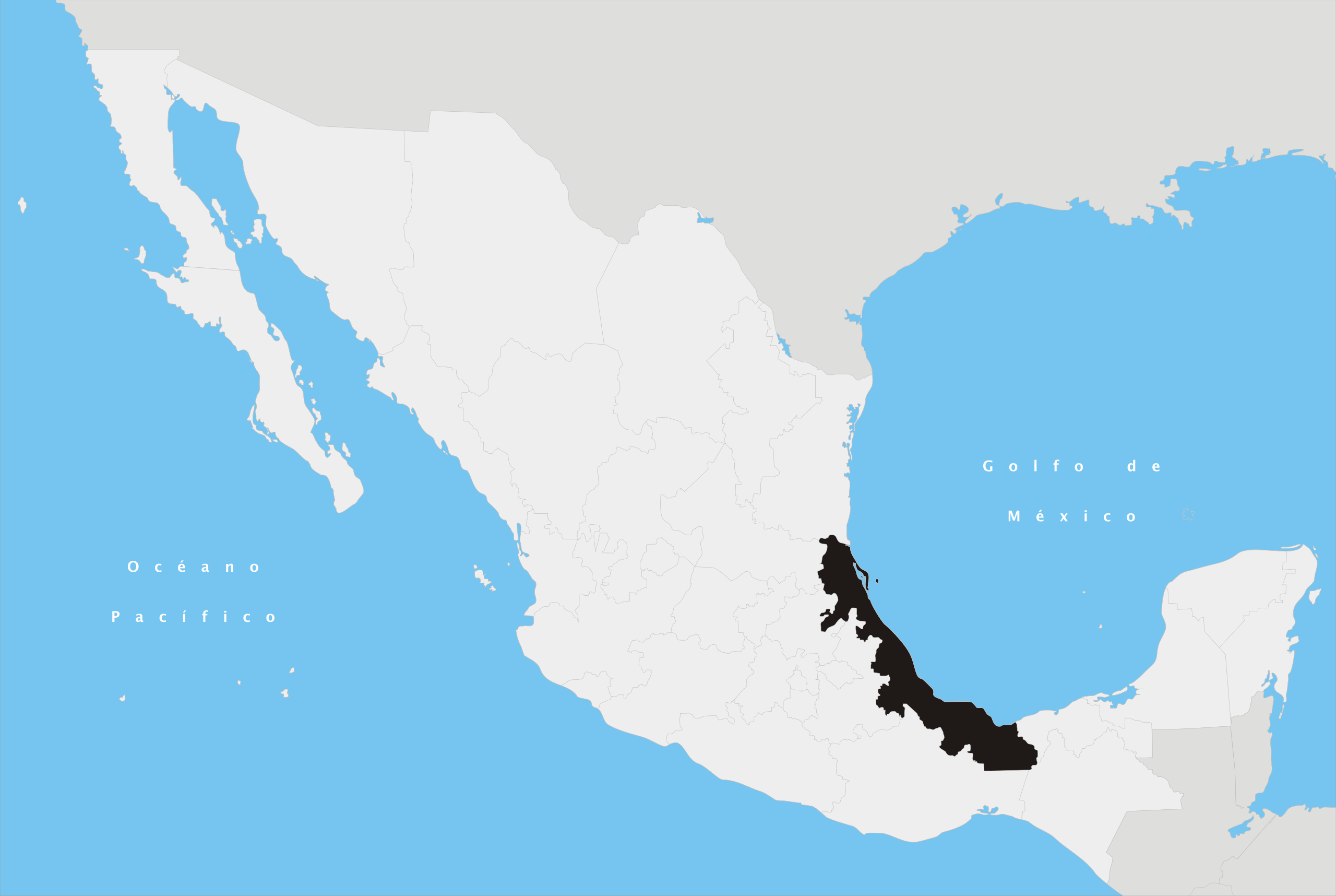
Español: Ubicación del estado de Veracruz en la República Mexicana |
||
| Date | |||
| Source | Own work | ||
| Author | Yavidaxiu | ||
| Permission (Reusing this file) |
|
File history
Click on a date/time to view the file as it appeared at that time.
| Date/Time | Thumbnail | Dimensions | User | Comment | |
|---|---|---|---|---|---|
| current | 19:01, 27 April 2007 | | 974 × 653 (218 KB) | wikimediacommons>Yavidaxiu | {{Information |Description={{es|Ubicación del estado de Veracruz en la República Mexicana}} |Source= Trabajo propio |Date= 20 de abril de 2007 |Author= Yavidaxiu |Permission= {{PD-self}} |other_versions= }} Category:Maps of Veracruz [[Category:Maps |
File usage
The following 81 pages use this file:
- Acatlán, Veracruz
- Acayucan
- Actopan, Veracruz
- Acula (municipality)
- Acultzingo
- Alpatláhuac
- Benito Juárez, Veracruz
- Cabo Rojo (Mexico)
- Callejón Diamante
- Capital Region, Veracruz
- Carneros River
- Cascada de Texolo
- Castillo River
- Castillo de Teayo, Veracruz
- Cerro Azul (municipality)
- Cerro de Macuiltépetl
- Chalma, Veracruz
- Chalma (municipality)
- Chiconamel
- Chinameca, Veracruz
- Ciudad Cuauhtémoc, Veracruz
- Clavijero Botanical Garden
- Coapexpan River
- Coatzacoalcos Municipality
- Colipa, Veracruz
- Colonia Manuel González
- Costa Esmeralda
- Coxquihui
- El Colegio de Veracruz
- El Higo, Veracruz
- Fortín de las Flores
- Gran Glaciar Norte
- Huasteca Alta Region
- Huasteca Baja Region
- Huatusco
- Huayacocotla
- Instituto Tecnológico Superior de Xalapa
- Instituto de Estudios Superiores Morelos
- Jamapa River
- Jardín de Esculturas
- Jáltipan
- La Gloria, Veracruz
- Manlio Fabio Altamirano, Veracruz
- Mountains Region
- Naranjos
- Nautla, Veracruz
- Nautla Region
- Olmeca Region
- Orizaba River
- Ozuluama
- Papaloapan River
- Parque de los Tecajetes
- Paseo de los Lagos
- Paso del Correo, Veracruz
- Patio Muñoz
- Perote, Veracruz
- Platón Sánchez
- Pánuco, Veracruz
- Santiago River (Eastern Mexico)
- Santiago Sochiapan
- Sedeño River
- Sordo River (Mexico)
- Sotavento Region
- Tamiahua Lagoon
- Tampico Alto
- Tenochtitlán, Veracruz
- Tezonapa
- Tlalixcoyan
- Totonaca Region
- Universidad Euro Hispanoamericana
- Universidad Metropolitana Xalapa
- Universidad Valladolid
- Universidad de América Latina
- Universidad de Xalapa
- Veracruz Reef System National Park
- Villa Aldama
- Yecuatla
- Zontecomatlán de López y Fuentes
- Zozocolco de Hidalgo
- Ángel R. Cabada (municipality)
- Template:Veracruz-geo-stub