Negev Mountains
Mountain range in Southern Israel
(Redirected from Mount Arif)
Negev Mountains is a mountainous area in the north-western part of the Negev desert, in Israel. Mount Ramon is the summit of Negev Mountains and the highest point in southern Israel, reaching 1,037 metres (3,402 ft).
| Negev Mountains | |
|---|---|
 Har 'Arif viewed from the east through the axis of the larger 'Arif makhtesh. | |
| Highest point | |
| Peak | Mount Ramon |
| Elevation | 1,037 m (3,402 ft) |
| Coordinates | 30°30′10″N 34°38′21″E / 30.50278°N 34.63917°E |
| Geography | |
 | |
| Country | Israel |
| Nearby town | Mitzpe Ramon |
Most of the area belongs to Negev Mountains Nature Reserve, the largest reserve in Israel. Its area is about 1,045,000 dunam.[1]
List of peaks
List of peaks, sorted by height above sea level:
References
- ^ שמורות טבע וגנים לאומיים מוכרזים בין השנים 1964–2013 [Designated nature reserves and national parks between 1964–2013] (PDF) (in Hebrew). Nature and Parks Authority. Archived from the original (PDF) on 27 September 2013. Retrieved 19 August 2013.
{{cite web}}: CS1 maint: unrecognized language (link) - ^ All heights are given according to the 1:50,000 topographic map of Israel available at amudanan
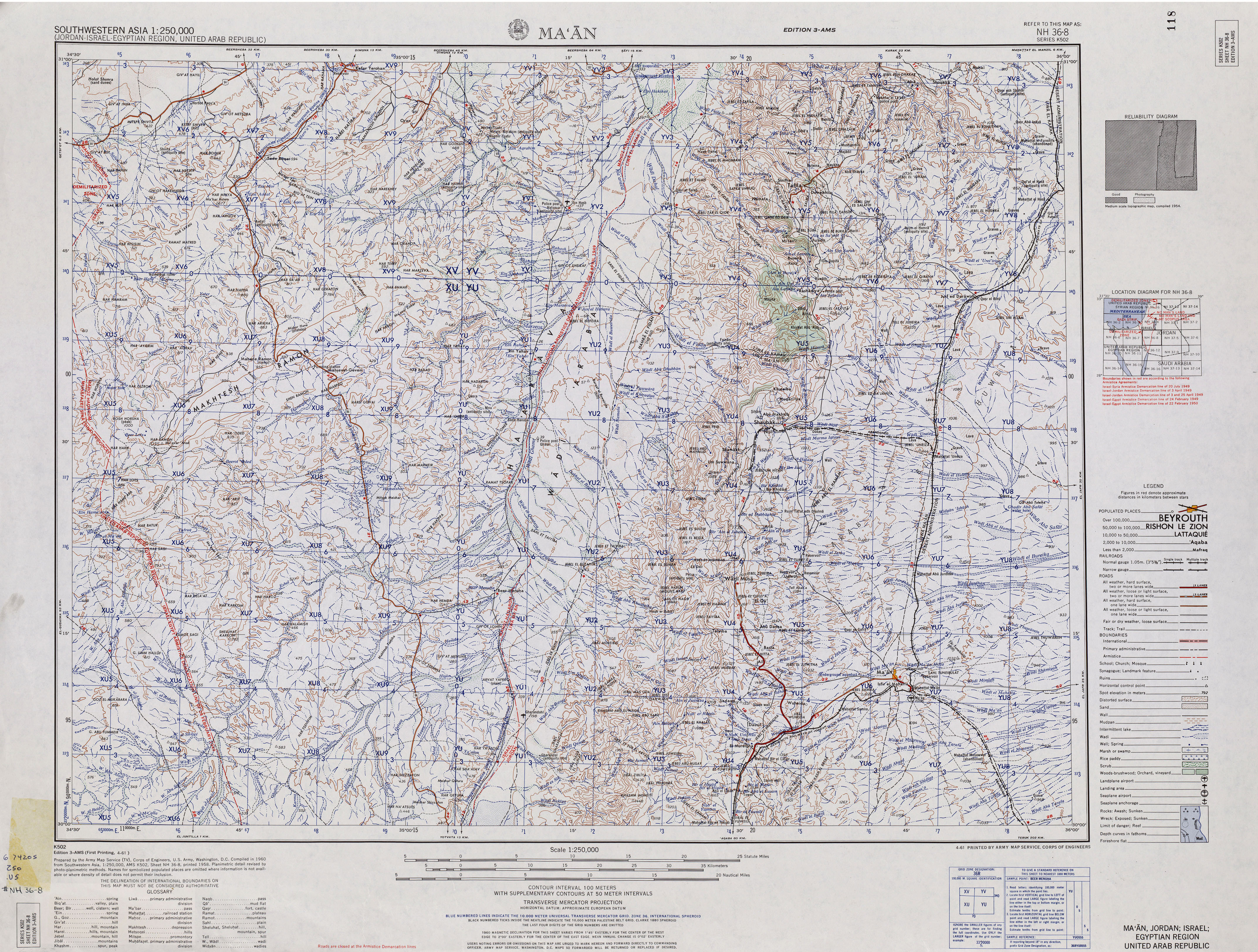
.co .il (in Hebrew) - ^ 3.00 3.01 3.02 3.03 3.04 3.05 3.06 3.07 3.08 3.09 3.10 3.11 3.12 3.13 3.14 Name given according to: "Southwestern Asia, 1:250,000 (Jordan-Israel-Egyptian Region, United Arab Republic); Map Sheet NH 36-8, Series K502". U.S. Army Map Service. 1960.