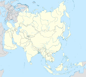
Ngọc Hiệp
This article has multiple issues. Please help improve it or discuss these issues on the talk page. (Learn how and when to remove these messages)
|
Ngọc Hiệp | |
|---|---|
 Cái River railway bridge, Ngọc Hiệp ward | |
| <mapframe height="200" frameless="1" align="center" width="280">{"properties":{"stroke-width":3,"stroke":"#ff0000","title":"Ngọc Hiệp"},"type":"ExternalData","service":"geoshape"}</mapframe> | |
| Coordinates: 12°15′50″N 109°10′50″E / 12.26389°N 109.18056°E | |
| Country | |
| Province | Khánh Hòa |
| City | Nha Trang |
| Region | Central Vietnam |
| Area | |
| • Total | 140 sq mi (362 km2) |
| Population (2019) | |
| • Total | 20.420 |
| • Density | 14.61/sq mi (5.640/km2) |
| Time zone | UTC+07:00 (Indochina Time) |
Ngọc Hiệp is a Ward in Nha Trang, Khánh Hòa Province, Vietnam.
Geography
Ngọc Hiệp has a metropolitan area of 362 km2 (140 sq mi), a population of about 20.420,[1]
References
- ^ "Vài nét về phường Ngọc Hiệp". UBND Phường Ngọc Hiệp (in Tiếng Việt). 25 September 2019. Retrieved 16 November 2022.
This article needs additional or more specific categories. (November 2023) |
Categories:
- CS1 Tiếng Việt-language sources (vi)
- Articles needing additional references from November 2023
- All articles needing additional references
- Pages with no translate target
- Short description with empty Wikidata description
- Coordinates not on Wikidata
- Articles needing additional categories from November 2023
- Geography of Khánh Hòa province
- South Central Coast geography stubs


