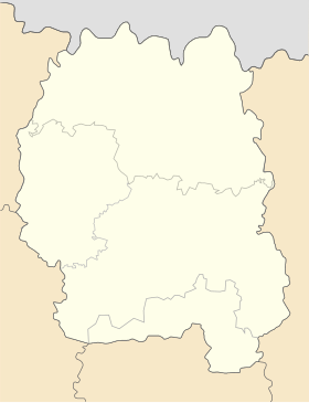
Romaniv
Romaniv
Романів | |
|---|---|
 Central Square of Romaniv | |
| Coordinates: 50°8′57″N 27°56′0″E / 50.14917°N 27.93333°E | |
| Country | |
| Oblast | |
| Raion | Zhytomyr Raion |
| Founded | 1471 |
| Magdeburg rights | 1817 |
| Urban-type settlement status | 10 December 1923 |
| Government | |
| • Mayor | Vasyl Vasyliovych Bilinets |
| Area | |
| • Total | 74 km2 (29 sq mi) |
| Elevation | 238 m (781 ft) |
| Population (2022) | |
| • Total | 7,226 |
| • Density | 98/km2 (250/sq mi) |
| Postal code | 13001, 13002, 13003, 13004 and 13005 |
| Area code | +380 4146 |
Romaniv (Ukrainian: Романів; Dzerzhynsk in 1933–2003) is an urban-type settlement in Zhytomyr Raion, Zhytomyr Oblast, Ukraine. Prior to the 2020 administrative reform, it was the administrative center of the former Romaniv Raion. Population: 7,226 (2022 estimate)[1]
History
Within the Russian Empire, Romaniv was part of the Novograd-Volynsky Uyezd of the Volhynian Governorate.
History of the Jews of Romaniv [2]
References
- ^ Чисельність наявного населення України на 1 січня 2022 [Number of Present Population of Ukraine, as of January 1, 2022] (PDF) (in українська and English). Kyiv: State Statistics Service of Ukraine. Archived (PDF) from the original on 4 July 2022.
- ^ Yad, vashem (2020). "The untold stories". www.yadvashem.org. Retrieved 2020-09-26.
Categories:
- Pages with non-numeric formatnum arguments
- CS1 uses українська-language script (uk)
- CS1 українська-language sources (uk)
- Short description with empty Wikidata description
- Articles containing Ukrainian-language text
- Coordinates not on Wikidata
- Pages using Lang-xx templates
- Rural settlements in Zhytomyr Raion
- Novograd-Volynsky Uyezd
- Zhytomyr Oblast geography stubs

