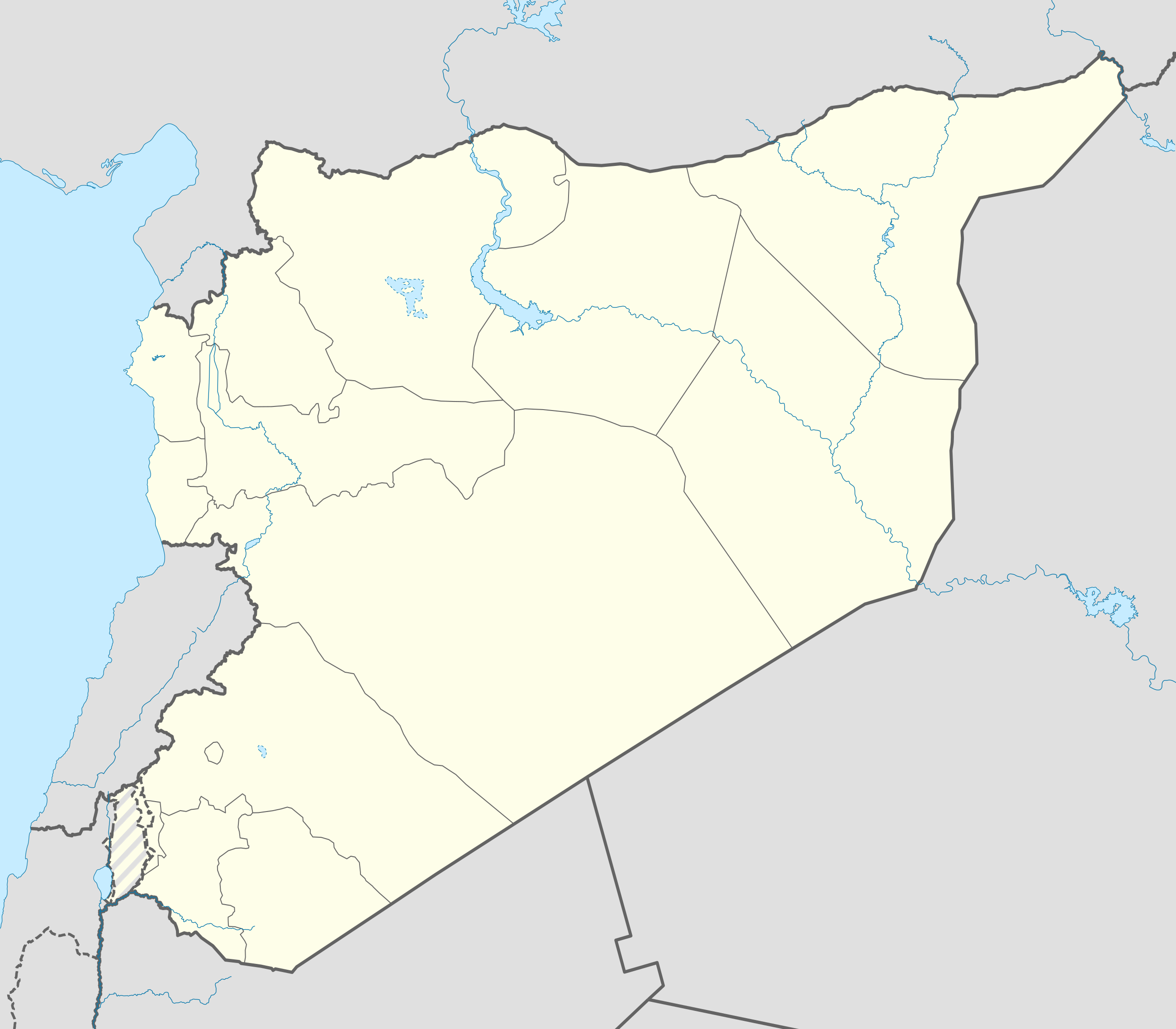
Template:Syrian Civil War overview map
This overview map is only for towns (size 7 or larger) and strategic places like airfields, border-crossings, ports, dams, military bases, and oilfields.
A detailed map with all villages and detailed places like hills, factories, neighborhoods, and checkpoints can be found at Template:Syrian_Civil_War_detailed_map
![]() Syrian Arab Army (SAA) and Syrian Government ;
Syrian Arab Army (SAA) and Syrian Government ; ![]() Syrian Interim Government (SNA) and Turkish Armed Forces ;
Syrian Interim Government (SNA) and Turkish Armed Forces ; ![]() Rojava (SDF) ;
Rojava (SDF) ; ![]() Syrian Salvation Government (HTS) ;
Syrian Salvation Government (HTS) ; ![]() Islamic State of Iraq and the Levant (ISIL) ;
Islamic State of Iraq and the Levant (ISIL) ; ![]() Revolutionary Commando Army (RCA) and United States Armed Forces ;
Revolutionary Commando Army (RCA) and United States Armed Forces ; ![]() Deir ez Zor Military Council and allied tribes ;
Deir ez Zor Military Council and allied tribes ; ![]() Government & Opposition (truce)
Government & Opposition (truce)
![]() Contested ;
Contested ; ![]() Stable mixed control
Stable mixed control
![]() Inner controls, outer sieges (or strong enemy pressure) ;
Inner controls, outer sieges (or strong enemy pressure) ; ![]() Enemy pressure from one side; Small icon within a larger icon: The situation in individual neighbourhood/district
Enemy pressure from one side; Small icon within a larger icon: The situation in individual neighbourhood/district
| This template may have no transclusions, because it is substituted by a tool or script, it is used as part of a short-term or less active Wikipedia process, or for some other reason. |
| This template uses Lua: |
Transclude this template by using {{Syrian Civil War overview map}}. No parameters should be provided.
How war map template work with other parts of Wikipedia


